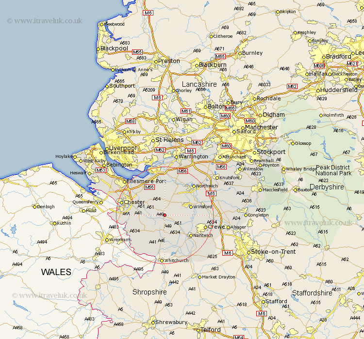
Cheshire Map Showing Location of Tarporley
Population: 2239
Area Size (ha): 60
District: Vale Royal
Easting: 355419 Northing: 361668
Latitude: 53.15 Longitude: -2.67
 = Tarporley
Area Size (ha): 60
District: Vale Royal
Easting: 355419 Northing: 361668
Latitude: 53.15 Longitude: -2.67
= Tarporley
This Tarporley map below is supplied by Google. Use the tools in the top left corner to zoom into street level or zoom out for a road map, you may also need to zoom in to see Tarporley on the map. Click and drag the map to move around. If the map fails to load try and refresh your browser or zoom in or out (+ or -).
Update - it seems Google no longer allow people to use their maps for free! This Tarporley map sometimes loads and sometimes gives a error. I am working on a solution.
Closest 30 Towns or Cities to Tarporley (Population over 500)
Bunbury 3.87km Little Budworth 5.78km Delamere 7.42km Kelsall 7.5km Kelsall Hill 7.5km Kelshall Hill 7.5km Tattenhall 7.63km Ashton 8.65km Tarvin 8.68km Waverton 9.08km Harthill 9.27km Cuddington 10.27km Barrow 10.48km Great Barrow 10.48km Winsford 10.66km Whitegate 10.74km Christleton 11.71km Hartford 12.09km Weaverham 12.43km Mickle Trafford 12.44km Kingsley 12.98km Davenham 13.63km Nantwich 13.64km Acton 13.72km Dunham 14.23km Dunham on the Hill 14.23km Dunham-on-the-Hill 14.23km Helsby 14.59km Elton 14.95km Tilston 14.96km