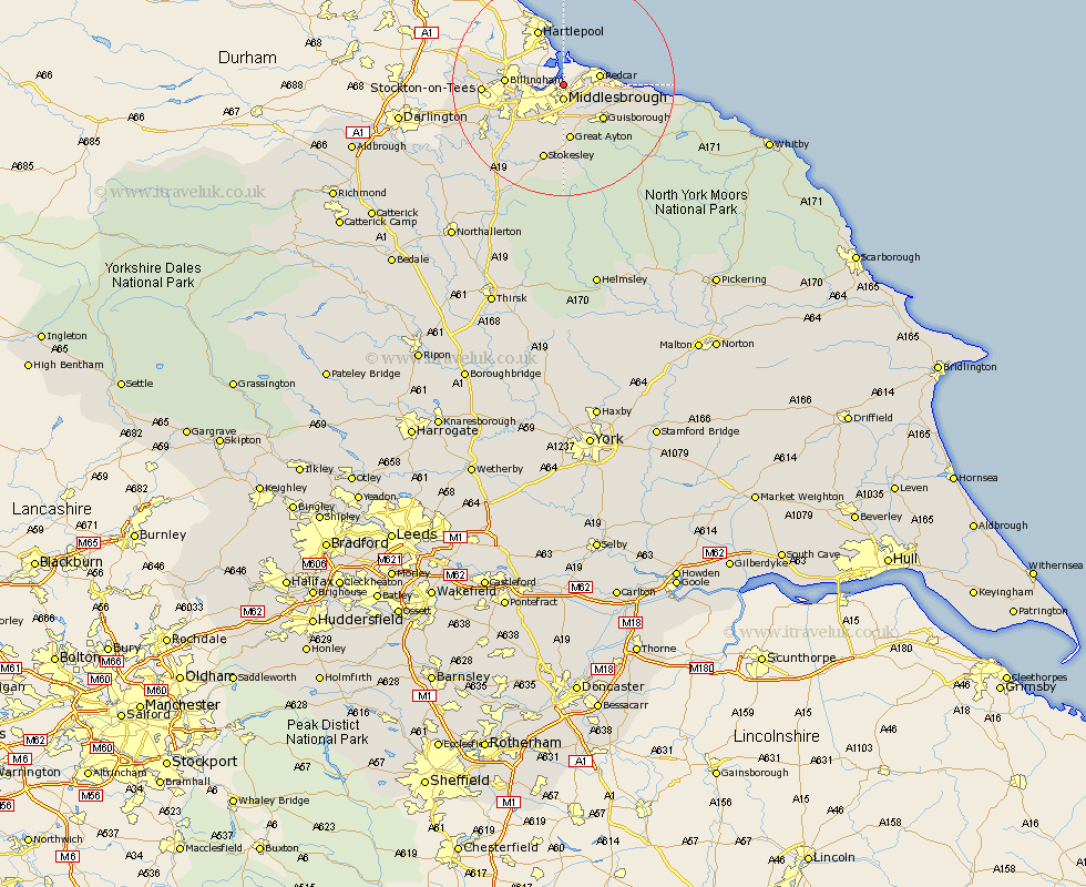
Yorkshire Map Showing Location of Teesport
Easting: 454793 Northing: 522111
Latitude: 54.59 Longitude: -1.15
 = Teesport
Latitude: 54.59 Longitude: -1.15
= Teesport
This Teesport map below is supplied by Google. Use the tools in the top left corner to zoom into street level or zoom out for a road map, you may also need to zoom in to see Teesport on the map. Click and drag the map to move around. If the map fails to load try and refresh your browser or zoom in or out (+ or -).
Update - it seems Google no longer allow people to use their maps for free! This Teesport map sometimes loads and sometimes gives a error. I am working on a solution.
Closest 30 Towns or Cities to Teesport (Population over 500)
Grangetown 0.88km South Bank-on-Tees 2.72km South Bank in Normanby 2.72km South Bank 2.72km South Bank on Tees 2.72km Middlebrough 2.72km Middlesbrough 2.72km Middlesborough 2.72km Eston 5.67km Redcar 6.23km Marske-by-the-Sea 8.66km Marske by the Sea 8.66km Marske 8.66km Guisborough 9.19km Great Ayton 10.2km Saltburn 10.9km Saltburn by the Sea 10.9km Saltburn-by-the-Sea 10.9km Skelton 11.79km Skelton-in-Cleveland 11.79km Stokesley 14.18km Brotton 14.35km Seamer 14.45km Middleton upon Leven 15.69km Middleton 15.69km Great Broughton 15.72km Ingleby 17.86km Loftus 17.91km Whorlton 20.4km Hinderwell 25.66km