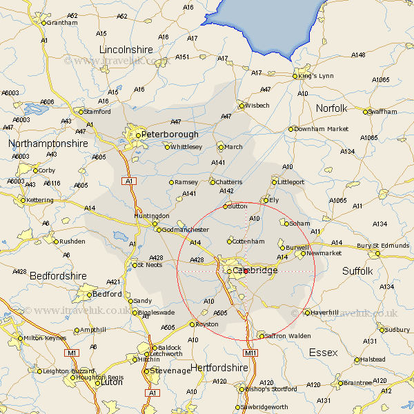
Cambridgeshire Map Showing Location of Teversham
Population: 2665
District: South Cambridgeshire
Easting: 549194 Northing: 258043
Latitude: 52.2 Longitude: 0.18
 = Teversham
District: South Cambridgeshire
Easting: 549194 Northing: 258043
Latitude: 52.2 Longitude: 0.18
= Teversham
This Teversham map below is supplied by Google. Use the tools in the top left corner to zoom into street level or zoom out for a road map, you may also need to zoom in to see Teversham on the map. Click and drag the map to move around. If the map fails to load try and refresh your browser or zoom in or out (+ or -).
Update - it seems Google no longer allow people to use their maps for free! This Teversham map sometimes loads and sometimes gives a error. I am working on a solution.
Closest 30 Towns or Cities to Teversham (Population over 500)
Fulbourne 2.94km Fulbourn 2.94km Milton 4.34km Cambridge 4.54km Great Wilbraham 4.91km Wilbraham 4.91km Waterbeach 5.56km Bottisham 5.97km Girton 7.75km Swaffham Bulbeck 7.75km Histon 7.95km Hauxton 7.95km Coton 7.95km Shelford 8.16km Sawston 9.33km Whittlesford 9.54km Swaffham Prior 9.7km Harston 10.08km Cottenham 10.32km Comberton 10.39km Dry Drayton 10.87km Oakington 10.87km Hardwick 11.36km Hardwicke 11.36km Needham Market 11.64km Haslingfield 11.73km Balsham 11.73km Foxton 12.21km Thriplow 12.49km Linton 12.49km