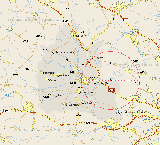
Oxfordshire Map Showing Location of Thame
Population: 10698
Area Size (ha): 250
District: South Oxfordshire
Easting: 470175 Northing: 206239
Latitude: 51.75 Longitude: -0.98
 = Thame
Area Size (ha): 250
District: South Oxfordshire
Easting: 470175 Northing: 206239
Latitude: 51.75 Longitude: -0.98
= Thame
This Thame map below is supplied by Google. Use the tools in the top left corner to zoom into street level or zoom out for a road map, you may also need to zoom in to see Thame on the map. Click and drag the map to move around. If the map fails to load try and refresh your browser or zoom in or out (+ or -).
Update - it seems Google no longer allow people to use their maps for free! This Thame map sometimes loads and sometimes gives a error. I am working on a solution.
Closest 30 Towns or Cities to Thame (Population over 500)
Tetsworth 5.68km Tiddington 6.03km Great Milton 7.82km Milton 7.82km Great Haseley 7.99km Lewknor 9.33km Chinnor 9.38km Aston Rowant 9.54km Wheatley 10.49km Cuddesdon 10.97km Garsington 12.75km Watlington 13.03km Chalgrove 13.08km Stadhampton 13.88km Beckley 14.25km Ambrosden 14.41km Drayton St Leonard 15.18km Drayton 15.18km Drayton Saint Leonard 15.18km Drayton St. Leonard 15.18km Benson 15.9km Littlemore 16.49km Launton 17.43km Ewelme 17.64km Warborough 18.07km Dorchester 18.11km Oxford 18.36km Clifton Hampden 18.62km Islip 18.73km Radley 18.75km