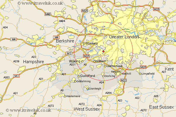
Surrey Map Showing Location of Thames Ditton
District: Elmbridge
Easting: 515968 Northing: 166290
Latitude: 51.38 Longitude: -0.33
 = Thames Ditton
Easting: 515968 Northing: 166290
Latitude: 51.38 Longitude: -0.33
= Thames Ditton
This Thames Ditton map below is supplied by Google. Use the tools in the top left corner to zoom into street level or zoom out for a road map, you may also need to zoom in to see Thames Ditton on the map. Click and drag the map to move around. If the map fails to load try and refresh your browser or zoom in or out (+ or -).
Update - it seems Google no longer allow people to use their maps for free! This Thames Ditton map sometimes loads and sometimes gives a error. I am working on a solution.
Closest 30 Towns or Cities to Thames Ditton (Population over 500)
Molesey 2.19km Claygate 3.88km Esher 4.37km Sunbury on Thames 4.98km Sunbury-on-Thames 4.98km Lower Sunbury 4.98km Sunbury 4.98km Walton upon Thames 6.94km Walton 6.94km Oxshott 7.5km Shepperton 8.1km Cobham 9.4km Church Cobham 9.4km Weybridge 9.44km Addlestone 10.57km Byfleet 10.8km Leatherhead 11.18km Chertsey 11.57km Tadworth 13.11km Banstead 13.74km Staines 13.88km Ottershaw 14.37km Mickleham 14.87km Ripley 15.24km West Horsley 15.29km Effingham 15.53km Woking 15.74km Horsley 16.37km East Horsley 16.37km Egham 16.61km