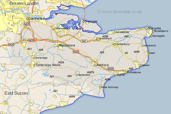
Kent Map Showing Location of Thames Haven
Easting: 573566 Northing: 179056
Latitude: 51.48 Longitude: 0.5
 = Thames Haven
Latitude: 51.48 Longitude: 0.5
= Thames Haven
This Thames Haven map below is supplied by Google. Use the tools in the top left corner to zoom into street level or zoom out for a road map, you may also need to zoom in to see Thames Haven on the map. Click and drag the map to move around. If the map fails to load try and refresh your browser or zoom in or out (+ or -).
Update - it seems Google no longer allow people to use their maps for free! This Thames Haven map sometimes loads and sometimes gives a error. I am working on a solution.
Closest 30 Towns or Cities to Thames Haven (Population over 500)
Higham 6.02km High Halstow 6.55km Stoke 9.81km Hoo 10.35km Shorne 10.35km Allhallows 10.55km Gravesend 10.78km Strood 11.12km Rochester 11.16km Chatham 11.18km Gillingham 12.1km Northfleet 12.82km Cobham 13.1km Swanscombe 13.87km Cuxton 15.22km Grain 15.46km Southfleet 15.73km Meopham 15.92km Stonewood 16.01km Upchurch 16.62km Wouldham 16.84km Longfield 16.89km Lower Halstow 17.37km Hartley 18.16km Burham 18.56km Newington 18.8km Snodland 19.09km Sheerness 19.29km Queenborough 19.91km Darenth 19.91km