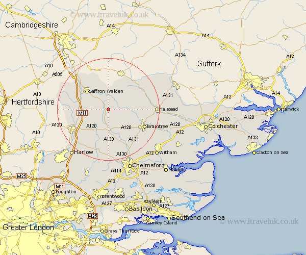
Essex Map Showing Location of Thaxted
Population: 1834
Area Size (ha): 53
District: Uttlesford
Easting: 562627 Northing: 230638
Latitude: 51.95 Longitude: 0.37
 = Thaxted
Area Size (ha): 53
District: Uttlesford
Easting: 562627 Northing: 230638
Latitude: 51.95 Longitude: 0.37
= Thaxted
This Thaxted map below is supplied by Google. Use the tools in the top left corner to zoom into street level or zoom out for a road map, you may also need to zoom in to see Thaxted on the map. Click and drag the map to move around. If the map fails to load try and refresh your browser or zoom in or out (+ or -).
Update - it seems Google no longer allow people to use their maps for free! This Thaxted map sometimes loads and sometimes gives a error. I am working on a solution.
Closest 30 Towns or Cities to Thaxted (Population over 500)
Thaxted 0km Great Sampford 4.35km Broxted 5.88km Finchingfield 6km Great Easton 6.01km Radwinter 6.01km Winebisc 6.53km Gwimbach 6.53km Wymbyshe 6.53km Wimbeis 6.53km Wenbech 6.53km Winbeche 6.53km Wimbish 6.53km Debden 7.1km Dunmow 7.42km Great Dunmow 7.42km Wethersfield 8km Stebbing 8.17km Great Bardfield 8.21km Henham 8.21km Newport 8.81km Shalford 9.33km Elsenham 9.86km Steeple Bumpstead 10.88km Saffron Walden 10.9km Felsted 11.35km Barnston 11.35km Quendon 11.42km Takeley 11.53km Ashdon 11.64km