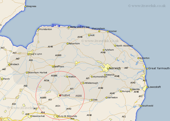
Norfolk Map Showing Location of Thetford
Population: 19800
Area Size (ha): 599
District: Breckland
Easting: 586994 Northing: 283455
Latitude: 52.42 Longitude: 0.75
 = Thetford
Area Size (ha): 599
District: Breckland
Easting: 586994 Northing: 283455
Latitude: 52.42 Longitude: 0.75
= Thetford
This Thetford map below is supplied by Google. Use the tools in the top left corner to zoom into street level or zoom out for a road map, you may also need to zoom in to see Thetford on the map. Click and drag the map to move around. If the map fails to load try and refresh your browser or zoom in or out (+ or -).
Update - it seems Google no longer allow people to use their maps for free! This Thetford map sometimes loads and sometimes gives a error. I am working on a solution.
Closest 30 Towns or Cities to Thetford (Population over 500)
Weeting 9.77km Harling 10.17km Mundford 11.48km East Harling 12.57km Hockham 12.94km Hockwold 14.06km Hockwold cum Wilton 14.06km Garboldisham 14.07km Kenninghall 15.93km Quidenham 16.25km Feltwell 16.44km Griston 16.8km North Lopham 17.06km Rockland Saint Peter 17.19km Rockland 17.19km Rockland St. Peter 17.19km Rockland St Peter 17.19km Methwold 17.53km Watton 17.61km Northwold 17.97km Banham 19.56km Bressingham 19.58km Great Ellingham 19.58km Carbrooke 20.61km Carbooke 20.61km Ashill 20.66km Attleborough 21.21km Old Buckenham 21.64km Besthorpe 22.18km Stoke Ferry 22.97km