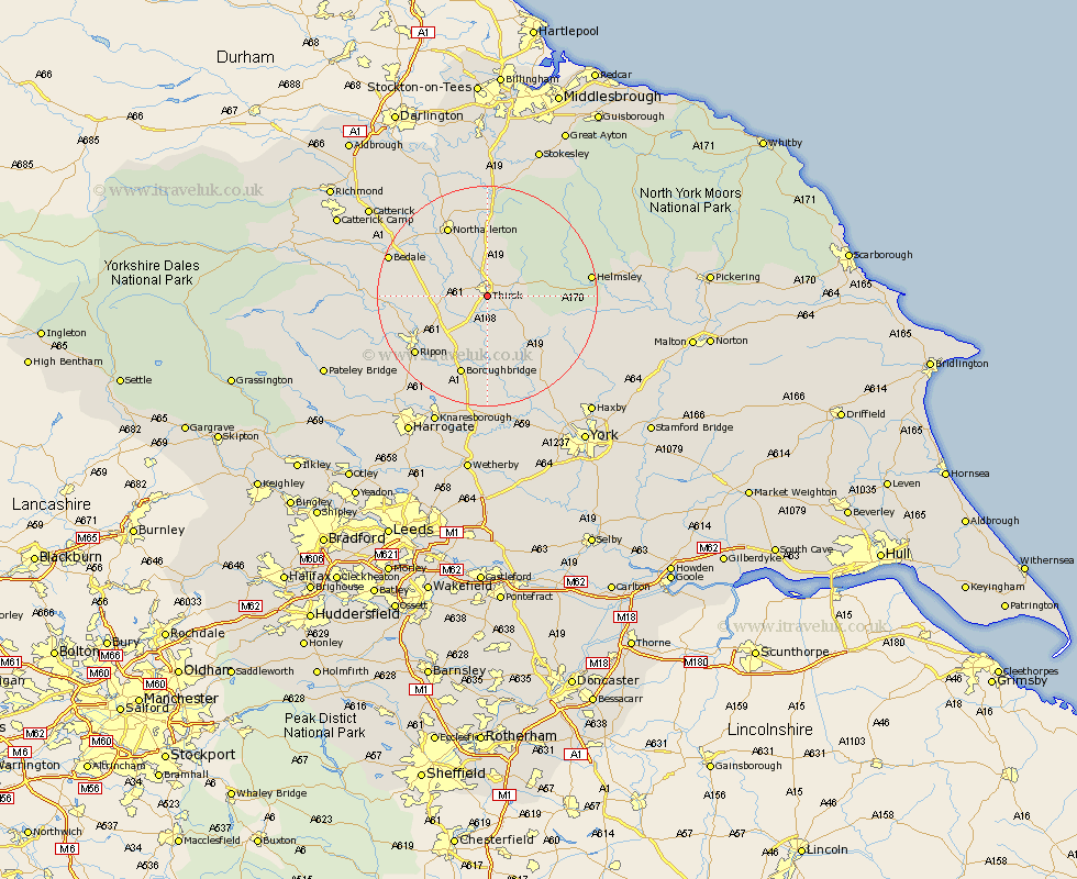
Yorkshire Map Showing Location of Thirsk
Population: 6756
Area Size (ha): 228
District: Hambleton
Easting: 443468 Northing: 480331
Latitude: 54.22 Longitude: -1.33
 = Thirsk
Area Size (ha): 228
District: Hambleton
Easting: 443468 Northing: 480331
Latitude: 54.22 Longitude: -1.33
= Thirsk
This Thirsk map below is supplied by Google. Use the tools in the top left corner to zoom into street level or zoom out for a road map, you may also need to zoom in to see Thirsk on the map. Click and drag the map to move around. If the map fails to load try and refresh your browser or zoom in or out (+ or -).
Update - it seems Google no longer allow people to use their maps for free! This Thirsk map sometimes loads and sometimes gives a error. I am working on a solution.
Closest 30 Towns or Cities to Thirsk (Population over 500)
Topcliffe 4.94km Dishforth 9.19km Raskelf 10.74km Easingwold 14.11km Ampleforth 14.21km Northallerton 14.5km Tanfield 15.29km West Tanfield 15.29km Boroughbridge 15.46km Brompton 15.78km Alne 16.2km Ripon 16.31km Osmotherley 16.82km Marton 16.82km Marton le Moor 16.82km Helmsley 17.72km Bedale 17.85km Tollerton 18.33km Monkton 18.38km Bishop Monkton 18.38km Great Ouseburn 18.57km Ouseburn 18.57km Stillington 19.17km Huby 19.74km Burton Leonard 19.9km Masham 20.59km Crakehall 20.6km Grewelthorpe 20.93km Linton upon Ouse 21.1km Linton-on-Ouse 21.1km