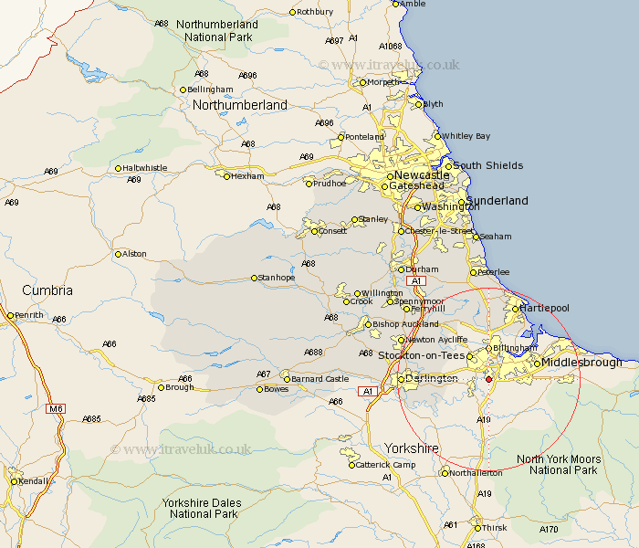
Durham Map Showing Location of Thornaby
Population: 23914
Area Size (ha): 581
Easting: 445291 Northing: 515575
Latitude: 54.53 Longitude: -1.3
 = Thornaby
Area Size (ha): 581
Easting: 445291 Northing: 515575
Latitude: 54.53 Longitude: -1.3
= Thornaby
This Thornaby map below is supplied by Google. Use the tools in the top left corner to zoom into street level or zoom out for a road map, you may also need to zoom in to see Thornaby on the map. Click and drag the map to move around. If the map fails to load try and refresh your browser or zoom in or out (+ or -).
Update - it seems Google no longer allow people to use their maps for free! This Thornaby map sometimes loads and sometimes gives a error. I am working on a solution.
Closest 30 Towns or Cities to Thornaby (Population over 500)
Eaglescliffe 3.23km Egglescliffe 3.72km Yarm 4.91km Yarm-on-Tees 4.91km Yarm on Tees 4.91km Stockton-on-Tees 6.66km Stockton 6.66km Stockton on Tees 6.66km Billingham on Tees 7.42km Billingham 7.42km Billingham-on-Tees 7.42km Carlton 8.51km Wolviston 9.34km Grindon 10.72km Stillington 11.35km Greatham 11.92km Hurworth 15.05km Sedgefield 15.56km Elwick 16.71km Darlington 17.21km Hartlepool 17.52km Fishburn 18.76km Newton Aycliffe 19.53km Trimdon 20km Bishop Middleham 20.44km Hart 20.51km Hutton Henry 20.65km Wingate 22.88km Ferryhill 23.18km Cornforth 23.2km