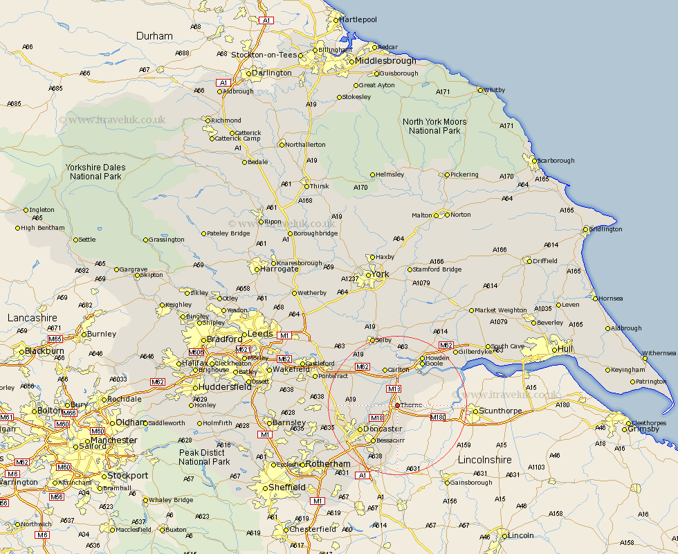
Yorkshire Map Showing Location of Thorne
Population: 16557
Area Size (ha): 398
District: Doncaster
Easting: 468374 Northing: 412015
Latitude: 53.6 Longitude: -0.97
 = Thorne
Area Size (ha): 398
District: Doncaster
Easting: 468374 Northing: 412015
Latitude: 53.6 Longitude: -0.97
= Thorne
This Thorne map below is supplied by Google. Use the tools in the top left corner to zoom into street level or zoom out for a road map, you may also need to zoom in to see Thorne on the map. Click and drag the map to move around. If the map fails to load try and refresh your browser or zoom in or out (+ or -).
Update - it seems Google no longer allow people to use their maps for free! This Thorne map sometimes loads and sometimes gives a error. I am working on a solution.
Closest 30 Towns or Cities to Thorne (Population over 500)
Moorends 0.37km Fishlake 3.3km Hatfield 3.86km Stainforth 4.4km Barnby Dun 7.57km Barnby Don 7.57km Fleckney 8.62km Armthorpe 9.24km Rawcliffe 9.33km Kirk Sandall 9.5km Pollington 9.92km Snaith 10.25km Askern 11.15km Carlton 11.6km Auckley 11.6km Doncaster 12.37km Cantley 12.41km Bessacarr 12.71km Swinefleet 12.77km Sutton 13.2km Airmyn 13.7km Hensall 14.17km Bentley 14.2km Campsall 14.41km Goole 14.55km Norton 14.76km Adwick le Street 14.77km Carcroft 14.77km Finningley 14.86km Hook 15.08km