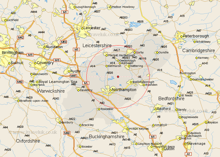
Northamptonshire Map Showing Location of Walgrave
Population: 822
District: Daventry
Easting: 480622 Northing: 271284
Latitude: 52.33 Longitude: -0.82
 = Walgrave
District: Daventry
Easting: 480622 Northing: 271284
Latitude: 52.33 Longitude: -0.82
= Walgrave
This Walgrave map below is supplied by Google. Use the tools in the top left corner to zoom into street level or zoom out for a road map, you may also need to zoom in to see Walgrave on the map. Click and drag the map to move around. If the map fails to load try and refresh your browser or zoom in or out (+ or -).
Update - it seems Google no longer allow people to use their maps for free! This Walgrave map sometimes loads and sometimes gives a error. I am working on a solution.
Closest 30 Towns or Cities to Walgrave (Population over 500)
Broughton 5.03km Overstone 5.56km Pitsford 5.85km Brixworth 5.96km Sywell 6.01km Moulton 6.01km Boughton 7.94km Isham 8.14km Wellingborough 8.75km Spratton 9.25km Billing 9.27km Great Billing 9.27km Rothwell 9.34km Rowell 9.34km Kettering 10.05km Wilby 10.06km Earls Barton 10.32km Northampton 10.32km Burton Latimer 10.36km Doddington 10.85km Great Doddington 10.85km Desborough 11.12km Whiston 12.01km Finedon 12.46km Guilsborough 12.46km Naseby 12.61km Clipston 12.96km Houghton 13.02km Great Houghton 13.02km Wollaston 13.78km