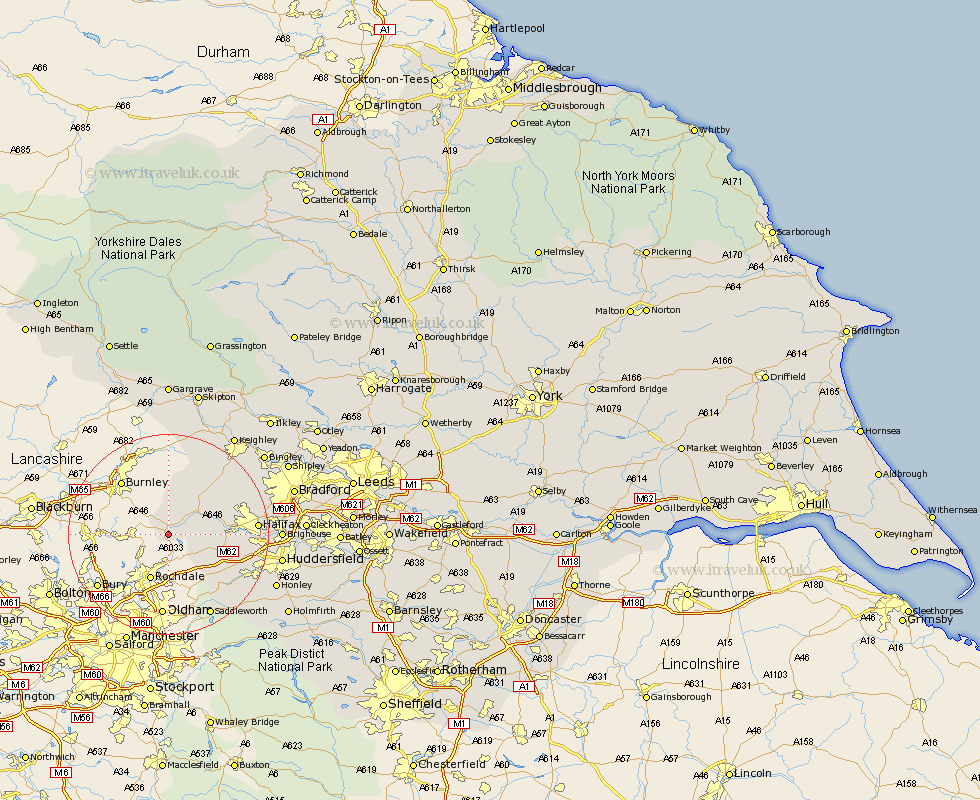
Yorkshire Map Showing Location of Walsden
District: Calderdale
Easting: 393398 Northing: 422647
Latitude: 53.7 Longitude: -2.1
 = Walsden
Easting: 393398 Northing: 422647
Latitude: 53.7 Longitude: -2.1
= Walsden
This Walsden map below is supplied by Google. Use the tools in the top left corner to zoom into street level or zoom out for a road map, you may also need to zoom in to see Walsden on the map. Click and drag the map to move around. If the map fails to load try and refresh your browser or zoom in or out (+ or -).
Update - it seems Google no longer allow people to use their maps for free! This Walsden map sometimes loads and sometimes gives a error. I am working on a solution.
Closest 30 Towns or Cities to Walsden (Population over 500)
Todmorden 2.16km Cornholme 4.95km Hebden Bridge 7.81km Heptonstall 7.81km Mytholmroyd 7.9km Ripponden 10.55km Luddenden Foot 11.13km Queensbury 14.16km Oxenhope 14.86km Denholme 16.09km Haworth 16.3km Halifax 16.56km Elland 17.66km Saddleworth 18.37km Cullingworth 18.47km Wilsden 20.09km Brighouse 20.85km Meltham 20.98km Huddersfield 21.59km Sutton-in-Craven 21.78km Steeton 22.64km Honley 22.68km Glusburn 23.19km Keighley 23.67km Earby 24.12km Bingley 24.19km Holme 24.24km Cononley 24.71km Silsden 24.79km Bradford 24.81km