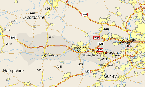
Berkshire Map Showing Location of Warfield
Population: 9226
Easting: 488073 Northing: 169443
Latitude: 51.42 Longitude: -0.73
 = Warfield
Easting: 488073 Northing: 169443
Latitude: 51.42 Longitude: -0.73
= Warfield
This Warfield map below is supplied by Google. Use the tools in the top left corner to zoom into street level or zoom out for a road map, you may also need to zoom in to see Warfield on the map. Click and drag the map to move around. If the map fails to load try and refresh your browser or zoom in or out (+ or -).
Update - it seems Google no longer allow people to use their maps for free! This Warfield map sometimes loads and sometimes gives a error. I am working on a solution.
Closest 30 Towns or Cities to Warfield (Population over 500)
Bracknell 1.16km Winkfield 2.96km Binfield 3.93km Ascot 4.98km Sunninghill 6.87km Wokingham 6.93km Waltham St. Lawrence 7.23km Waltham Saint Lawrence 7.23km Waltham St Lawrence 7.23km White Waltham 7.76km Crowthorne 8.02km Sunningdale 8.9km Winnersh 9.25km Bray 9.55km Twyford 9.82km Sandhurst 10.36km Frogmore 10.79km Frogmore House 10.79km Finchampstead 10.98km Old Windsor 11.04km Horton 11.04km Woodley 11.04km Barkham 11.05km Maidenhead 11.36km Windsor 11.84km New Windsor 11.84km Wagrave 11.85km Wargrave 11.85km Datchet 12.82km Sonning 12.82km