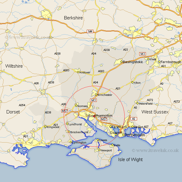
Hampshire Map Showing Location of West End
Population: 3374
Area Size (ha): 116
District: Eastleigh
Easting: 446858 Northing: 113299
Latitude: 50.92 Longitude: -1.33
 = West End
Area Size (ha): 116
District: Eastleigh
Easting: 446858 Northing: 113299
Latitude: 50.92 Longitude: -1.33
= West End
This West End map below is supplied by Google. Use the tools in the top left corner to zoom into street level or zoom out for a road map, you may also need to zoom in to see West End on the map. Click and drag the map to move around. If the map fails to load try and refresh your browser or zoom in or out (+ or -).
Update - it seems Google no longer allow people to use their maps for free! This West End map sometimes loads and sometimes gives a error. I am working on a solution.
Closest 30 Towns or Cities to West End (Population over 500)
Itchen 3.97km Botley 4.67km Southampton 4.69km Ashurst 5.3km Bishopstoke 5.56km Netley 5.56km Netley Marsh 5.56km Eastleigh 5.68km Curbridge 5.84km Curdridge 5.84km Bursledon 6.03km Locks Heath 6.65km Chilworth 6.91km Durley 6.92km Hythe 7.26km Hample 7.51km Hamble 7.51km Marchwood 7.93km Upham 8.94km Dibden 8.95km Bishop's Waltham 8.98km Bishops Waltham 8.98km Otterbourne 9.34km Waltham Chase 9.35km Owslebury 10.37km Totton 10.52km Shidfield 10.52km Shedfield 10.52km Eling 10.68km Compton 11.12km