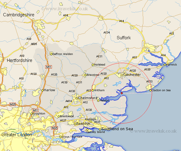
Essex Map Showing Location of West Mersea
Population: 6359
Area Size (ha): 252
District: Colchester
Easting: 600080 Northing: 211587
Latitude: 51.77 Longitude: 0.9
 = West Mersea
Area Size (ha): 252
District: Colchester
Easting: 600080 Northing: 211587
Latitude: 51.77 Longitude: 0.9
= West Mersea
This West Mersea map below is supplied by Google. Use the tools in the top left corner to zoom into street level or zoom out for a road map, you may also need to zoom in to see West Mersea on the map. Click and drag the map to move around. If the map fails to load try and refresh your browser or zoom in or out (+ or -).
Update - it seems Google no longer allow people to use their maps for free! This West Mersea map sometimes loads and sometimes gives a error. I am working on a solution.
Closest 30 Towns or Cities to West Mersea (Population over 500)
Tollesbury 4.95km Peldon 5.56km Tolleshunt D'Arcy 6.88km Fingringhoe 7.75km Layer de la Haye 8.16km Tolleshunt Knights 8.24km Tillingham 9.34km Birch 9.36km Tolleshunt Major 9.36km Rowhedge 9.88km Brightlingsea 9.89km Wivenhoe 10.33km Wyvenhoe 10.33km Winehoe 10.33km Alresford 10.89km Goldhanger 10.97km Copford 11.53km Tiptree 12.05km Colchester 12.96km Thorrington 13.03km St. Osyth 13.14km St Osyth 13.14km Saint Osyth 13.14km Marks Tey 13.71km Southminster 13.77km Great Totham 14.25km Totham 14.25km Great Bentley 14.73km Mayland 15.27km Heybridge 15.37km