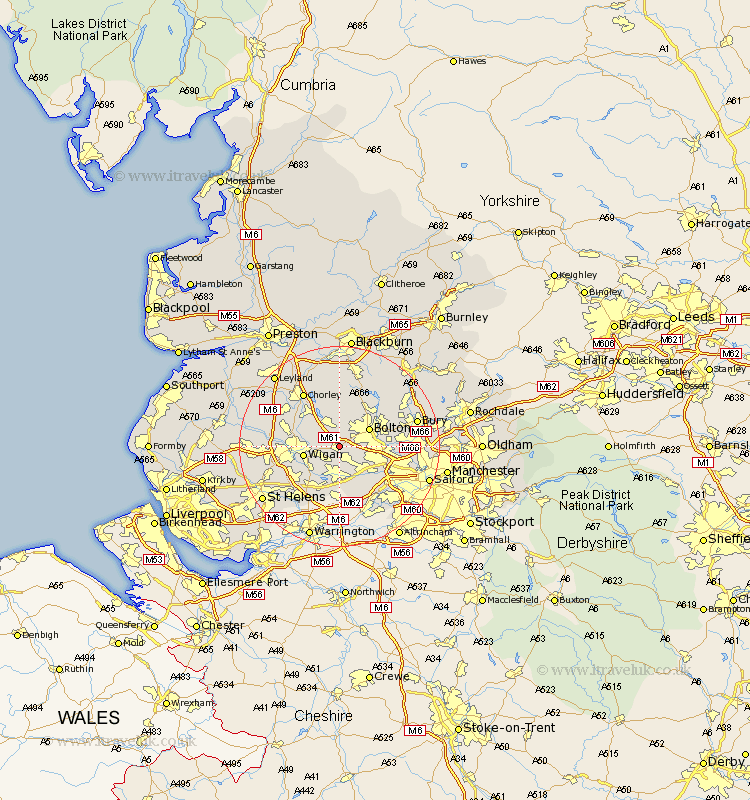
Lancashire Map Showing Location of Westhoughton
Population: 19994
Area Size (ha): 422
District: Bolton
Easting: 365771 Northing: 406080
Latitude: 53.55 Longitude: -2.52
 = Westhoughton
Area Size (ha): 422
District: Bolton
Easting: 365771 Northing: 406080
Latitude: 53.55 Longitude: -2.52
= Westhoughton
This Westhoughton map below is supplied by Google. Use the tools in the top left corner to zoom into street level or zoom out for a road map, you may also need to zoom in to see Westhoughton on the map. Click and drag the map to move around. If the map fails to load try and refresh your browser or zoom in or out (+ or -).
Update - it seems Google no longer allow people to use their maps for free! This Westhoughton map sometimes loads and sometimes gives a error. I am working on a solution.
Closest 30 Towns or Cities to Westhoughton (Population over 500)
Atherton 3.86km Hindley 4.78km Tyldesley 4.96km Blackrod 5.75km Abram 5.75km Horwich 5.98km Bolton 6.63km Ince 6.86km Wigan 6.86km Ince-in-Makerfield 6.86km Haigh 7.09km Leigh 7.41km Farnworth 7.71km Adlington 7.82km Walkden 8.55km Kearsley 9km Bromley Cross 9.5km Bradshaw 9.5km Little Lever 9.91km Standish 10.57km Golborne 10.78km Shevington 11.16km Coppull 11.51km Ashton in Makerfield 11.52km Ashton 11.52km Turton 12.05km Radcliffe 12.11km Swinton 12.34km Pendlebury 12.67km Chorley 12.93km