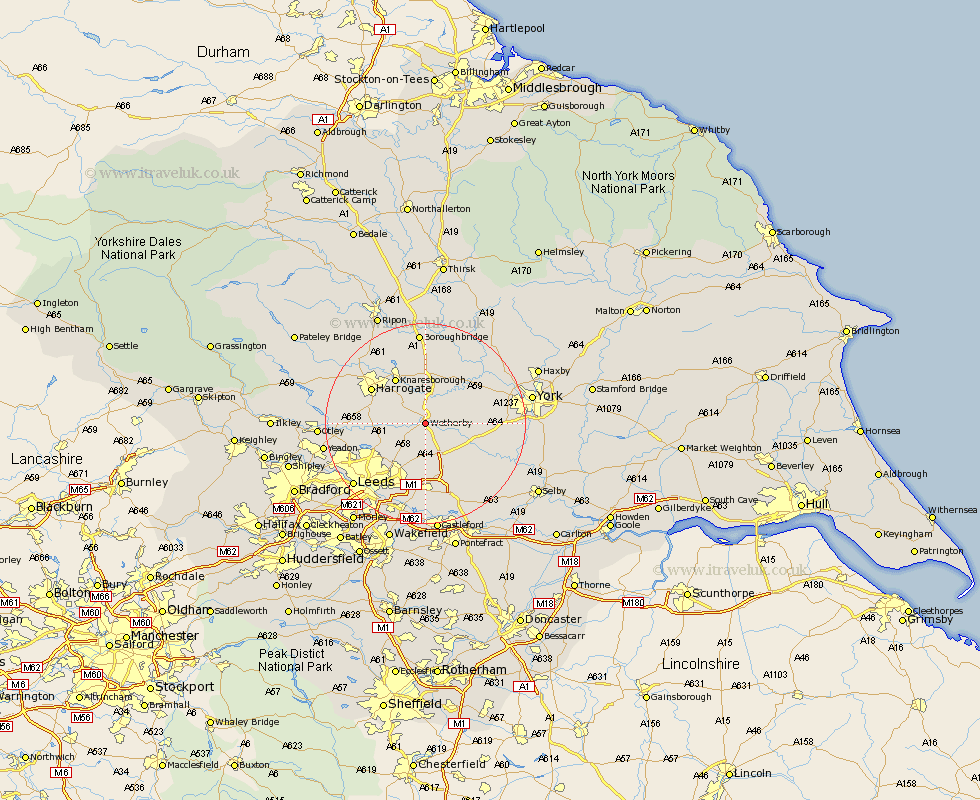
Yorkshire Map Showing Location of Wetherby
Population: 7930
Area Size (ha): 286
District: Leeds
Easting: 440498 Northing: 446926
Latitude: 53.92 Longitude: -1.38
 = Wetherby
Area Size (ha): 286
District: Leeds
Easting: 440498 Northing: 446926
Latitude: 53.92 Longitude: -1.38
= Wetherby
This Wetherby map below is supplied by Google. Use the tools in the top left corner to zoom into street level or zoom out for a road map, you may also need to zoom in to see Wetherby on the map. Click and drag the map to move around. If the map fails to load try and refresh your browser or zoom in or out (+ or -).
Update - it seems Google no longer allow people to use their maps for free! This Wetherby map sometimes loads and sometimes gives a error. I am working on a solution.
Closest 30 Towns or Cities to Wetherby (Population over 500)
Wetherby 0km Collingham 2.15km Boston Spa 2.87km Thorpe Arch 3.27km Thorp Arch 3.27km Bramham 4.31km Bardsey 4.95km East Keswick 5.25km Scarcroft 7.07km Thorner 7.73km Harewood 7.86km Tadcaster 8.5km Hammerton 9.2km Kirk Hammerton 9.2km Pannal 10.49km Long Marston 10.49km Knaresborough 10.75km Green Hammerton 10.75km Scholes 11.33km Aberford 11.59km Whixley 11.94km Weeton 12.01km Harrogate 12.3km Rufforth 12.56km Ulleskelf 13.2km Micklefield 13.38km Arthington 14.31km Arthington Junction Station 14.31km Garforth 14.83km Pool 15.4km