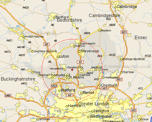
Hertfordshire Map Showing Location of Wheathampstead
Population: 4391
Area Size (ha): 104
District: St Albans
Easting: 518359 Northing: 212705
Latitude: 51.8 Longitude: -0.28
 = Wheathampstead
Area Size (ha): 104
District: St Albans
Easting: 518359 Northing: 212705
Latitude: 51.8 Longitude: -0.28
= Wheathampstead
This Wheathampstead map below is supplied by Google. Use the tools in the top left corner to zoom into street level or zoom out for a road map, you may also need to zoom in to see Wheathampstead on the map. Click and drag the map to move around. If the map fails to load try and refresh your browser or zoom in or out (+ or -).
Update - it seems Google no longer allow people to use their maps for free! This Wheathampstead map sometimes loads and sometimes gives a error. I am working on a solution.
Closest 30 Towns or Cities to Wheathampstead (Population over 500)
Sandridge 3.88km Harpenden 4.59km Hatfield 5.38km Kimpton 5.56km Welwyn Garden City 5.73km Garden City 5.73km Welwyn 5.89km Codicote 6.54km Saint Albans 6.54km St Albans 6.54km St. Albans 6.54km Redbourn 7.12km Colney Heath 7.76km Bishops Hatfield 8.84km Knebworth 8.84km London Olney 9.26km London Colney 9.26km Tewin 9.35km North Mymms 9.54km Harmer Green 9.88km Brookmans Park 10.12km Flamstead 10.48km Datchworth 10.72km Essendon 10.73km Markyate 12.04km Markyatestreet 12.04km Hertingfordbury 12.74km Aston 13.03km Shenley 13.03km Stapleford 13.13km