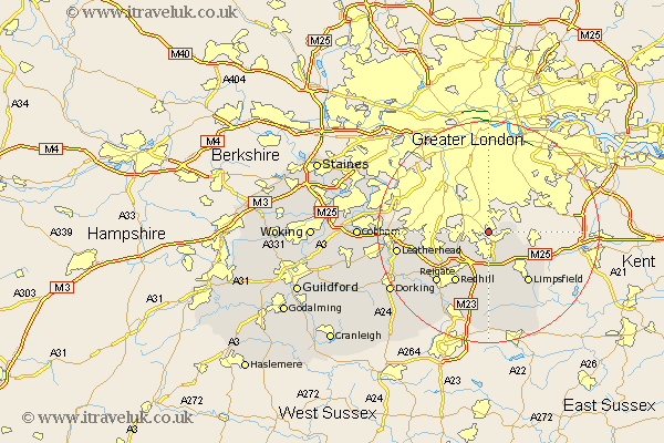
Surrey Map Showing Location of Whyteleafe
Population: 3315
District: Tandridge
Easting: 533555 Northing: 159306
Latitude: 51.32 Longitude: -0.08
 = Whyteleafe
District: Tandridge
Easting: 533555 Northing: 159306
Latitude: 51.32 Longitude: -0.08
= Whyteleafe
This Whyteleafe map below is supplied by Google. Use the tools in the top left corner to zoom into street level or zoom out for a road map, you may also need to zoom in to see Whyteleafe on the map. Click and drag the map to move around. If the map fails to load try and refresh your browser or zoom in or out (+ or -).
Update - it seems Google no longer allow people to use their maps for free! This Whyteleafe map sometimes loads and sometimes gives a error. I am working on a solution.
Closest 30 Towns or Cities to Whyteleafe (Population over 500)
Warlingham 2.97km Farley 3.48km Farleigh 3.48km Woldingham 5.09km Caterham 5.56km Banstead 5.79km Tatsfield 8.92km Bletchingley 9.34km Godstone 9.34km Tandridge 9.9km Oxted 10.36km Redhill 10.93km Tadworth 11.07km Nutfield 11.36km Limpsfield 11.59km Reigate 13.11km Salfords 14.21km Buckland 14.84km Betchworth 14.84km Leatherhead 16.64km Leigh 16.65km Horne 16.72km Lingfield 17.31km Horley 17.66km Mickleham 17.84km Oxshott 18.53km Claygate 18.89km Esher 20.03km Burstow 20.42km Dorking 20.64km