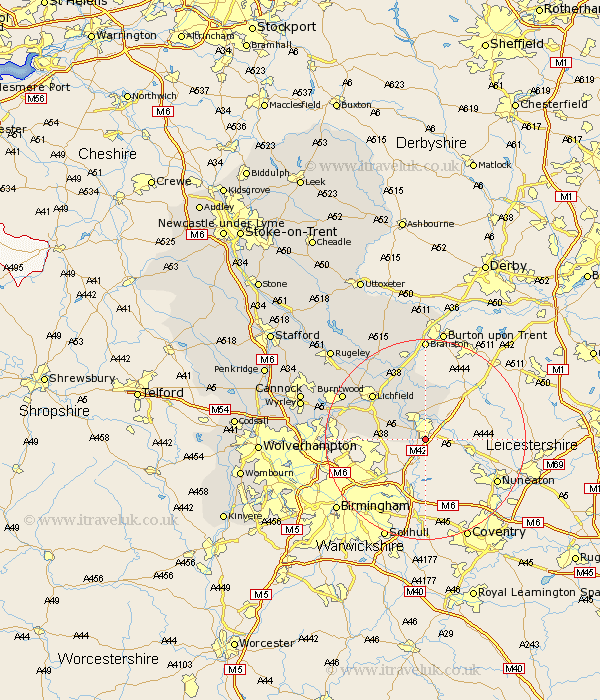
Staffordshire Map Showing Location of Wilnecote
District: Tamworth
Easting: 422573 Northing: 300337
Latitude: 52.6 Longitude: -1.67
 = Wilnecote
Easting: 422573 Northing: 300337
Latitude: 52.6 Longitude: -1.67
= Wilnecote
This Wilnecote map below is supplied by Google. Use the tools in the top left corner to zoom into street level or zoom out for a road map, you may also need to zoom in to see Wilnecote on the map. Click and drag the map to move around. If the map fails to load try and refresh your browser or zoom in or out (+ or -).
Update - it seems Google no longer allow people to use their maps for free! This Wilnecote map sometimes loads and sometimes gives a error. I am working on a solution.
Closest 30 Towns or Cities to Wilnecote (Population over 500)
Tamworth 2.17km Fazeley 2.92km Drayton Bassett 3.38km Wigginton 5.67km Elford 9.86km Clifton Campville 9.86km Edingale 11.18km Whittington 11.46km Shenstone 11.84km Lichfield 13.72km Alrewas 13.73km Hammerwich 15.64km Aldridge 16.88km Burntwood 18.27km Brownhills 18.38km Yoxall 18.44km Rushall 19.13km Pelsall 19.22km Longdon 19.54km Branston 20.38km Tatenhill 20.5km Armitage 20.81km Norton Canes 22.26km Walsall 22.51km Wallsall 22.51km Anslow 24.12km West Bromwich 24.36km Wyrley 24.85km Great Wyrley 24.85km Colton 25.05km