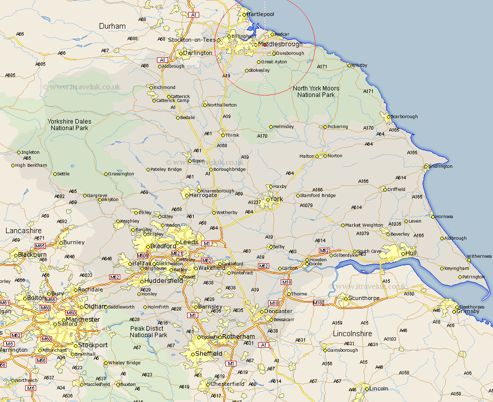
Yorkshire Map Showing Location of Wilton On Tees
Easting: 458184 Northing: 519438
Latitude: 54.57 Longitude: -1.1
 = Wilton On Tees
Latitude: 54.57 Longitude: -1.1
= Wilton On Tees
This Wilton On Tees map below is supplied by Google. Use the tools in the top left corner to zoom into street level or zoom out for a road map, you may also need to zoom in to see Wilton On Tees on the map. Click and drag the map to move around. If the map fails to load try and refresh your browser or zoom in or out (+ or -).
Update - it seems Google no longer allow people to use their maps for free! This Wilton On Tees map sometimes loads and sometimes gives a error. I am working on a solution.
Closest 30 Towns or Cities to Wilton On Tees (Population over 500)
Eston 1.86km South Bank on Tees 3.22km South Bank in Normanby 3.22km South Bank 3.22km South Bank-on-Tees 3.22km Middlebrough 3.22km Middlesborough 3.22km Middlesbrough 3.22km Grangetown 3.71km Guisborough 4.92km Redcar 5.24km Marske 6.06km Marske by the Sea 6.06km Marske-by-the-Sea 6.06km Great Ayton 7.72km Saltburn 7.74km Saltburn by the Sea 7.74km Saltburn-by-the-Sea 7.74km Skelton 7.75km Skelton-in-Cleveland 7.75km Brotton 10.74km Stokesley 12.86km Seamer 13.43km Great Broughton 13.67km Loftus 14.09km Ingleby 14.83km Middleton 15.47km Middleton upon Leven 15.47km Whorlton 19.29km Hinderwell 21.81km