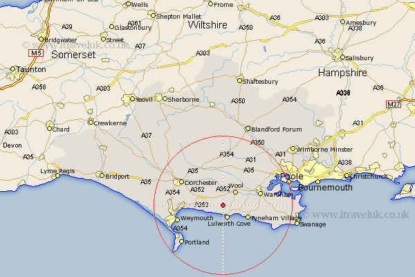
Dorset Map Showing Location of Winfrith Newburgh
Population: 718
District: Purbeck
Easting: 381149 Northing: 83467
Latitude: 50.65 Longitude: -2.27
 = Winfrith Newburgh
District: Purbeck
Easting: 381149 Northing: 83467
Latitude: 50.65 Longitude: -2.27
= Winfrith Newburgh
This Winfrith Newburgh map below is supplied by Google. Use the tools in the top left corner to zoom into street level or zoom out for a road map, you may also need to zoom in to see Winfrith Newburgh on the map. Click and drag the map to move around. If the map fails to load try and refresh your browser or zoom in or out (+ or -).
Update - it seems Google no longer allow people to use their maps for free! This Winfrith Newburgh map sometimes loads and sometimes gives a error. I am working on a solution.
Closest 30 Towns or Cities to Winfrith Newburgh (Population over 500)
Lulworth Cove 3.89km West Lulworth 3.89km Wool 5.39km Bovington Camp 5.68km Upton 6.9km Osmington 7.29km Broadmayne 9.02km Preston 10.58km Wareham 11.2km Bere Regis 11.66km Overcombe 11.76km Piddletown 12.57km Puddletown 12.57km Bincombe 12.93km Milborne 13.03km Milborne St. Andrew 13.03km Milborne Saint Andrew 13.03km Milborne St Andrew 13.03km Weymouth 13.67km Winterborne Kingston 13.8km Dorchester 13.89km Holton Heath 14.89km Holton Heath Station 14.89km Corfe Castle 15.39km Charminster 15.89km Portland 16.19km Island of Portland 16.19km Isle of Portland 16.19km Milton Abbas 16.72km Whitechurch 16.84km