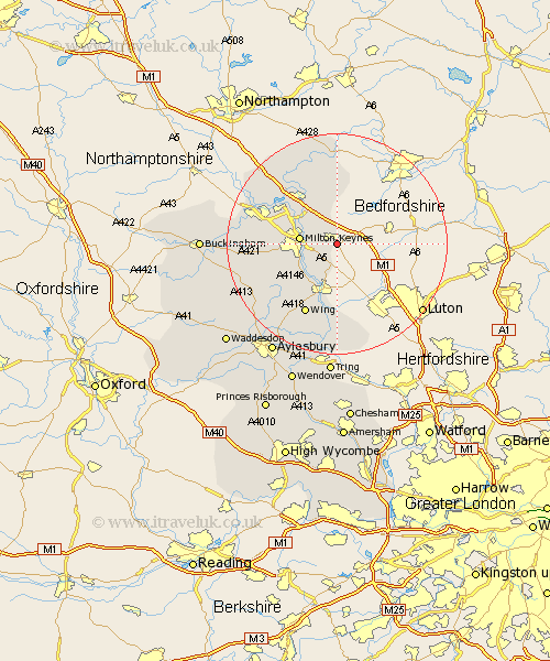
Buckinghamshire Map Showing Location of Woburn Sands
Population: 4814
Area Size (ha): 213
Easting: 493811 Northing: 234435
Latitude: 52 Longitude: -0.63
 = Woburn Sands
Area Size (ha): 213
Easting: 493811 Northing: 234435
Latitude: 52 Longitude: -0.63
= Woburn Sands
This Woburn Sands map below is supplied by Google. Use the tools in the top left corner to zoom into street level or zoom out for a road map, you may also need to zoom in to see Woburn Sands on the map. Click and drag the map to move around. If the map fails to load try and refresh your browser or zoom in or out (+ or -).
Update - it seems Google no longer allow people to use their maps for free! This Woburn Sands map sometimes loads and sometimes gives a error. I am working on a solution.
Closest 30 Towns or Cities to Woburn Sands (Population over 500)
Wavendon 2.94km Bow Brickhill 2.94km Simpson 4.93km Great Brickhill 6.53km Milton Keynes 6.72km Bletchley 7.09km Stoke Hammond 7.97km Shenley Brook End 9.13km North Crawley 9.33km Soulbury 9.36km Newton Longville 9.85km Shenley 10.43km Shenley Church End 10.43km Newport Pagnell 10.88km Great Linford 10.9km Bradwell 10.91km Sherington 12.02km Stewkley 12.24km Wolverton 13.72km Wing 14.18km Mursley 14.59km Slapton 14.82km Stony Stratford 15.83km Stoke Goldington 15.86km Great Horwood 16.4km Castlethorpe 16.52km Hanslope 16.76km Winslow 16.92km Edlesborough 17.03km Olney 17.29km