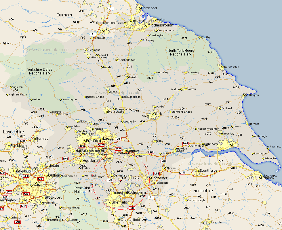
Yorkshire Map Showing Location of Wombwell
Population: 15219
Area Size (ha): 337
District: Barnsley
Easting: 439779 Northing: 402416
Latitude: 53.52 Longitude: -1.4
 = Wombwell
Area Size (ha): 337
District: Barnsley
Easting: 439779 Northing: 402416
Latitude: 53.52 Longitude: -1.4
= Wombwell
This Wombwell map below is supplied by Google. Use the tools in the top left corner to zoom into street level or zoom out for a road map, you may also need to zoom in to see Wombwell on the map. Click and drag the map to move around. If the map fails to load try and refresh your browser or zoom in or out (+ or -).
Update - it seems Google no longer allow people to use their maps for free! This Wombwell map sometimes loads and sometimes gives a error. I am working on a solution.
Closest 30 Towns or Cities to Wombwell (Population over 500)
Darfield 2.15km Darsfield 2.15km Hoyland Nether 3.79km Hoyland 3.79km Wath-on-Dearne 3.79km Wath 3.79km Wath upon Dearne 3.79km Wath on Dearne 3.79km Little Houghton 4.31km Houghton 4.97km Great Houghton 4.97km Worsborough 5.51km Worsbrough 5.51km Wentworth 5.66km Cudworth 5.67km Tankersley 5.76km Birdwell 5.81km Barnsley 6.64km Swinton 6.64km Dearne 6.86km Shafton 7.49km Rawmarsh 8.63km Dodworth 9km Brodsworth 9.56km Wortley 9.57km Mexborough 9.57km Royston 9.84km Hemsworth 9.84km Rotherdam 9.84km Rotherham 9.84km