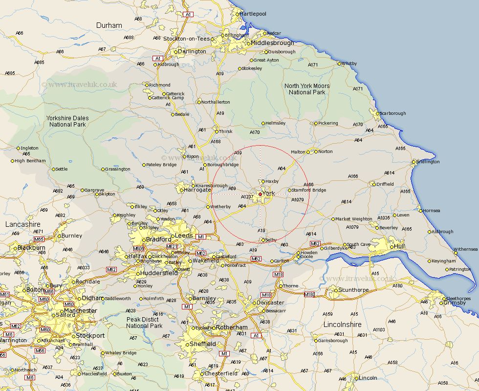
Yorkshire Map Showing Location of York
Population: 127707
Area Size (ha): 2965
Easting: 460128 Northing: 452702
Latitude: 53.97 Longitude: -1.08
 = York
Area Size (ha): 2965
Easting: 460128 Northing: 452702
Latitude: 53.97 Longitude: -1.08
= York
This York map below is supplied by Google. Use the tools in the top left corner to zoom into street level or zoom out for a road map, you may also need to zoom in to see York on the map. Click and drag the map to move around. If the map fails to load try and refresh your browser or zoom in or out (+ or -).
Update - it seems Google no longer allow people to use their maps for free! This York map sometimes loads and sometimes gives a error. I am working on a solution.
Closest 30 Towns or Cities to York (Population over 500)
Clifton 1.09km New Earswick 2.14km Heslington 3.76km Bishopthorpe 3.87km Bishopthorne 3.87km Huntington 4.3km Earswick 4.3km Poppleton 4.36km Upper Poppleton 4.36km Skelton 4.94km Haxby 5.66km Wigginton 5.66km Copmanthorpe 6.45km Acaster Malbis 7.5km Rufforth 7.86km Shipton 8.59km Escrick 9.53km Strensall 9.82km Long Marston 9.99km Stamford Bridge 11.05km Newton upon Ouse 11.44km Newton 11.44km Wheldrake 12.02km Sutton 12.24km Sutton upon Derwent 12.24km Linton 13.17km Linton on Ouse 13.17km Linton-on-Ouse 13.17km Linton upon Ouse 13.17km Wilberfoss 13.22km