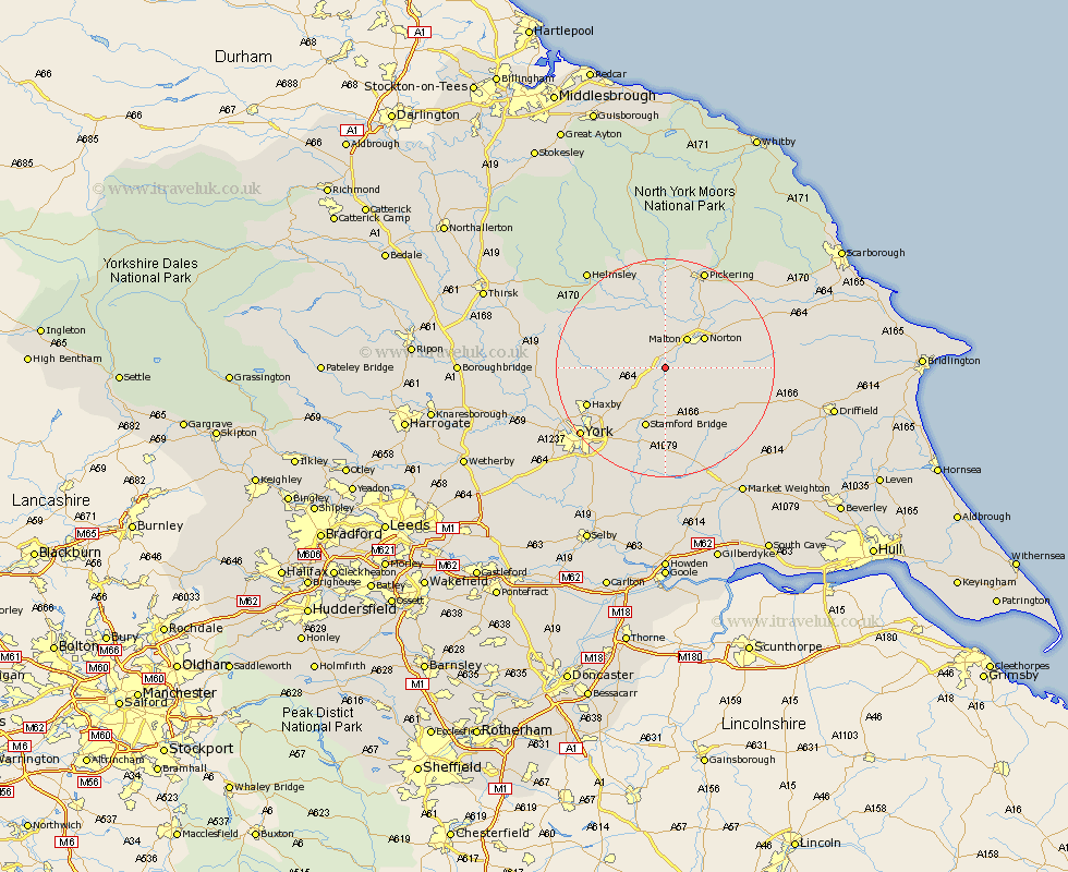
Yorkshire Map Showing Location of Kirkham
District: Ryedale
Easting: 474132 Northing: 465878
Latitude: 54.08 Longitude: -0.87
 = Kirkham
Easting: 474132 Northing: 465878
Latitude: 54.08 Longitude: -0.87
= Kirkham
This Kirkham map below is supplied by Google. Use the tools in the top left corner to zoom into street level or zoom out for a road map, you may also need to zoom in to see Kirkham on the map. Click and drag the map to move around. If the map fails to load try and refresh your browser or zoom in or out (+ or -).
Update - it seems Google no longer allow people to use their maps for free! This Kirkham map sometimes loads and sometimes gives a error. I am working on a solution.
Closest 30 Towns or Cities to Kirkham (Population over 500)
Malton 6.67km Terrington 7.5km Slingsby 8.1km Sheriff Hutton 8.7km Norton 8.82km Strensall 11.49km Stamford Bridge 11.59km Fangfoss 13.15km Rillington 13.15km Wilberfoss 14.86km Haxby 15.01km Wigginton 15.01km Huntington 15.14km Earswick 15.14km Stillington 16.41km Barmby-on-the-Moor 17km Barmby on the Moor 17km Barmby 17km New Earswick 17.15km Huby 17.39km Nawton 18.33km Pocklington 18.34km Heslington 18.39km Sutton upon Derwent 18.81km Sutton 18.81km York 19.19km Shipton 19.31km Thornton-le-Dale 19.33km Thornton Dale 19.33km Pickering 19.65km