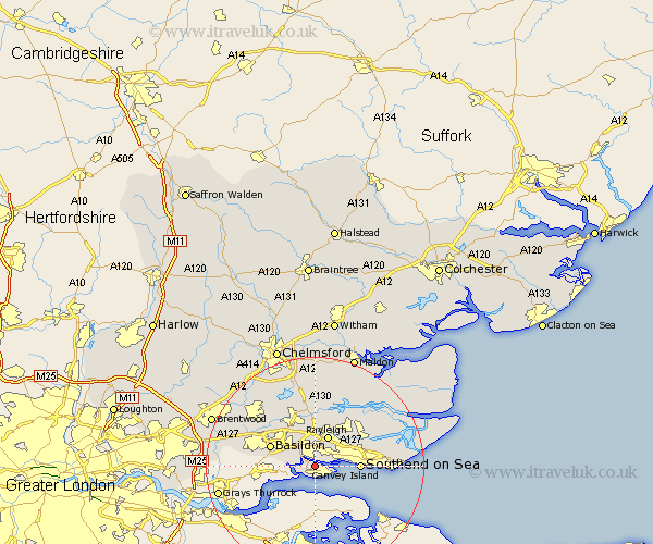
Essex Map Showing Location of Canvey Island
Population: 35642
Area Size (ha): 873
District: Castle Point
Easting: 579154 Northing: 184815
Latitude: 51.53 Longitude: 0.58
 = Canvey Island
Area Size (ha): 873
District: Castle Point
Easting: 579154 Northing: 184815
Latitude: 51.53 Longitude: 0.58
= Canvey Island
This Canvey Island map below is supplied by Google. Use the tools in the top left corner to zoom into street level or zoom out for a road map, you may also need to zoom in to see Canvey Island on the map. Click and drag the map to move around. If the map fails to load try and refresh your browser or zoom in or out (+ or -).
Update - it seems Google no longer allow people to use their maps for free! This Canvey Island map sometimes loads and sometimes gives a error. I am working on a solution.
Closest 30 Towns or Cities to Canvey Island (Population over 500)
Benfleet 2.31km South Benfleet 2.31km Rayleigh 6.02km Leigh-on-Sea 6.06km Leigh on Sea 6.06km Leigh 6.06km Hockley 7.22km Rawreth 7.51km Hawkwell 8.01km Southend 8.07km Southend on Sea 8.07km Southend-on-Sea 8.07km Wickford 8.73km Basildon 8.88km Corringham 9.3km Rochford 10.77km South Hanningfield 12.04km Stanford le Hope 12.11km Great Burstead 12.79km Woodham Ferrers 13.03km Ramsden Heath 13.07km North Fambridge 13.09km Fambridge 13.09km Rettendon 13.18km Canewdon 13.7km Canewelon 13.7km Little Wakering 13.96km West Hanningfield 14.2km Barling 14.32km Billericay 14.79km