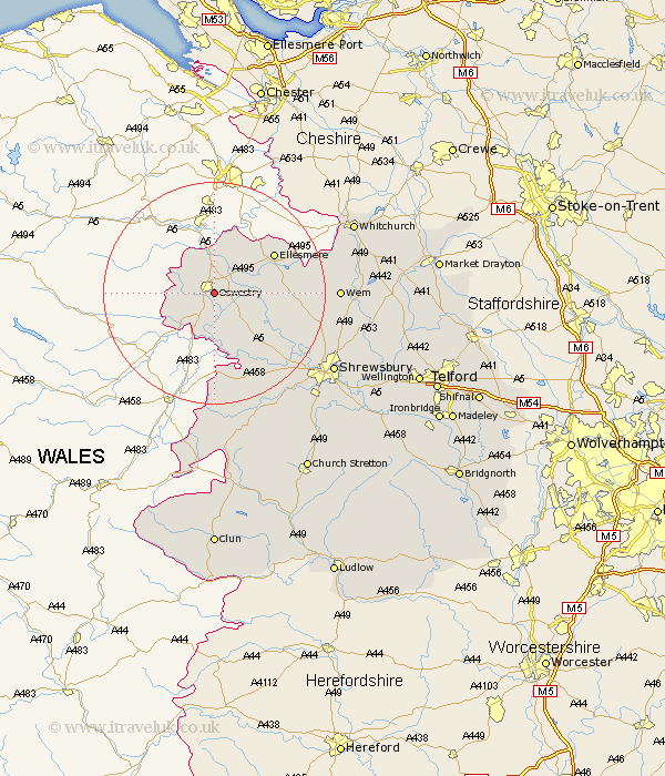
Shropshire Map Showing Location of Oswestry
Population: 15312
Area Size (ha): 455
District: Oswestry
Easting: 330420 Northing: 328591
Latitude: 52.85 Longitude: -3.03
 = Oswestry
Area Size (ha): 455
District: Oswestry
Easting: 330420 Northing: 328591
Latitude: 52.85 Longitude: -3.03
= Oswestry
This Oswestry map below is supplied by Google. Use the tools in the top left corner to zoom into street level or zoom out for a road map, you may also need to zoom in to see Oswestry on the map. Click and drag the map to move around. If the map fails to load try and refresh your browser or zoom in or out (+ or -).
Update - it seems Google no longer allow people to use their maps for free! This Oswestry map sometimes loads and sometimes gives a error. I am working on a solution.
Closest 30 Towns or Cities to Oswestry (Population over 500)
Oswestry 0km St. Martins 1.47km Saint Martins 1.47km St Martins 1.47km Whittington 2.91km Gobowen 3.7km West Felton 5km Selattyn 6.49km Pant 7.75km Kinnerley 8.14km Llanyblodwel 10.01km Cockshut 12.31km Cockshutt 12.31km Ellesmere 12.5km Great Ness 12.89km Baschurch 13.43km Welshampton 13.5km Alberbury 15.85km Loppington 16.89km Ford 19.28km Westbury 19.36km Bicton 19.51km Wem 21.26km Whixall 21.97km Hadnall 23.21km Hanwood 23.58km Great Hanwood 23.58km Pontesbury 24.42km Prees 24.89km Precs 24.89km