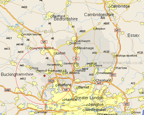
Hertfordshire Map Showing Location of Bourne End
District: Dacorum
Easting: 502423 Northing: 204934
Latitude: 51.73 Longitude: -0.52
 = Bourne End
Easting: 502423 Northing: 204934
Latitude: 51.73 Longitude: -0.52
= Bourne End
This Bourne End map below is supplied by Google. Use the tools in the top left corner to zoom into street level or zoom out for a road map, you may also need to zoom in to see Bourne End on the map. Click and drag the map to move around. If the map fails to load try and refresh your browser or zoom in or out (+ or -).
Update - it seems Google no longer allow people to use their maps for free! This Bourne End map sometimes loads and sometimes gives a error. I am working on a solution.
Closest 30 Towns or Cities to Bourne End (Population over 500)
Bovingdon 2.17km Berkhampstead 2.95km Berkhamsted 2.95km Hemel Hempstead 3.91km Chipperfield 4.36km Great Gaddesden 5.68km Kings Langley 5.9km Northchurch 5.9km Sarratt 6.02km Little Gaddesden 7.76km Abbots Langley 7.82km Wigginton 8.85km Aldbury 9.38km Chorleywood 9.54km Redbourn 10.73km Tring 10.73km Flamstead 10.9km Watford 10.93km Rickmansworth 11.64km Markyatestreet 12.03km Markyate 12.03km Croxley Green 12.03km Saint Albans 12.76km St Albans 12.76km St. Albans 12.76km Harpenden 13.66km Aldenham 13.67km Radlett 14.86km Sandridge 15.37km Bushey 15.99km