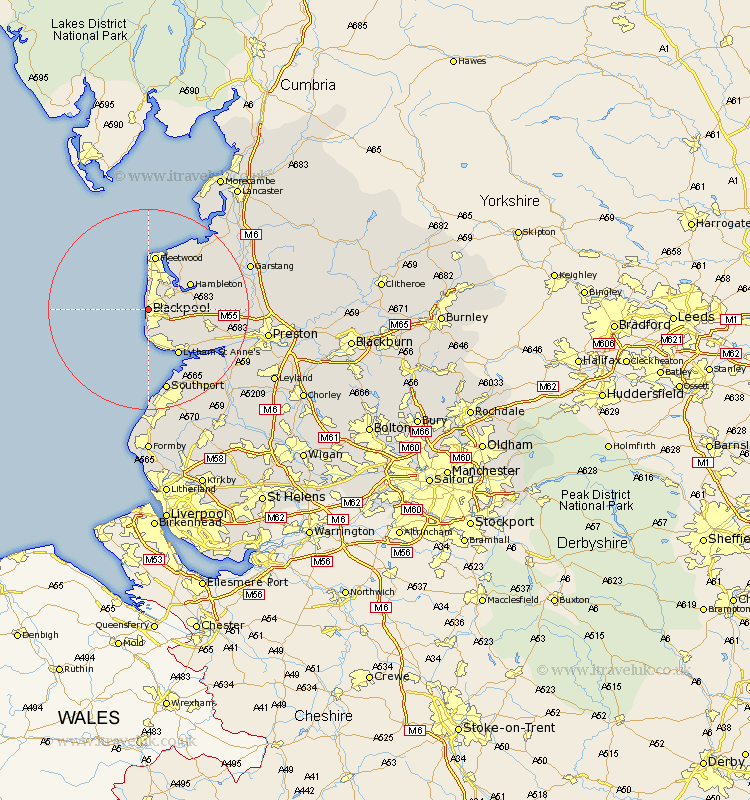
Lancashire Map Showing Location of Blackpool
Population: 145348
Area Size (ha): 3118
Easting: 330878 Northing: 436136
Latitude: 53.82 Longitude: -3.05
 = Blackpool
Area Size (ha): 3118
Easting: 330878 Northing: 436136
Latitude: 53.82 Longitude: -3.05
= Blackpool
This Blackpool map below is supplied by Google. Use the tools in the top left corner to zoom into street level or zoom out for a road map, you may also need to zoom in to see Blackpool on the map. Click and drag the map to move around. If the map fails to load try and refresh your browser or zoom in or out (+ or -).
Update - it seems Google no longer allow people to use their maps for free! This Blackpool map sometimes loads and sometimes gives a error. I am working on a solution.
Closest 30 Towns or Cities to Blackpool (Population over 500)
Poulton le Fylde 4.75km Poulton 4.75km Cleveleys 5.56km Thornton 5.98km Great Singleton 7.88km Singleton 7.88km Plumpton 8.51km Hambleton 9.46km Lytham 10.77km Lytham St. Anne's 10.77km Lytham St Anne's 10.77km Lytham Saint Anne's 10.77km Elswick 11.09km Fleetwood 11.2km Warton 12.28km Preesall 12.39km Eccleston 12.59km Great Eccleston 12.59km Kirkham 12.6km Freckleton 14.14km Inskip 14.34km Pilling 15.64km Southport 17km Banks 17.23km Lea 17.34km Lea Town 17.34km Catterall 19.4km Woodplumpton 19.79km Longton 19.84km Garstang 20.76km