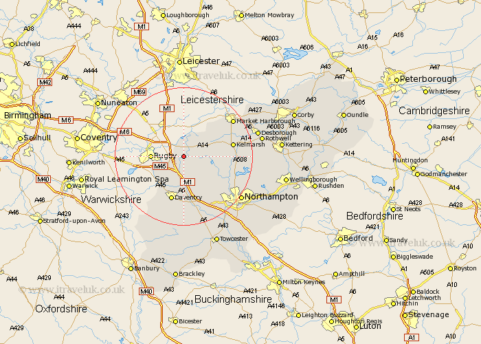
Northamptonshire Map Showing Location of Yelvertoft
Population: 821
District: Daventry
Easting: 460137 Northing: 274704
Latitude: 52.37 Longitude: -1.12
 = Yelvertoft
District: Daventry
Easting: 460137 Northing: 274704
Latitude: 52.37 Longitude: -1.12
= Yelvertoft
This Yelvertoft map below is supplied by Google. Use the tools in the top left corner to zoom into street level or zoom out for a road map, you may also need to zoom in to see Yelvertoft on the map. Click and drag the map to move around. If the map fails to load try and refresh your browser or zoom in or out (+ or -).
Update - it seems Google no longer allow people to use their maps for free! This Yelvertoft map sometimes loads and sometimes gives a error. I am working on a solution.
Closest 30 Towns or Cities to Yelvertoft (Population over 500)
Crick 3.88km West Haddon 5.03km Kilsby 5.03km Welford 7.17km Barby 7.93km Long Buckby 8.16km Guilsborough 8.75km Naseby 9.24km Welton 9.55km East Haddon 10.06km Braunston 10.87km Clipston 12.6km Spratton 12.61km Daventry 13.41km Flore 15.51km Brixworth 15.74km Weedon 17.02km Weedon Beck 17.02km Badby 17.28km Harpole 17.39km Boughton 17.4km Pitsford 17.5km Kislingbury 19.55km Bugbrooke 19.75km Moulton 20.36km Northampton 20.5km Walgrave 20.71km Desborough 21.66km Rothwell 22.2km Rowell 22.2km