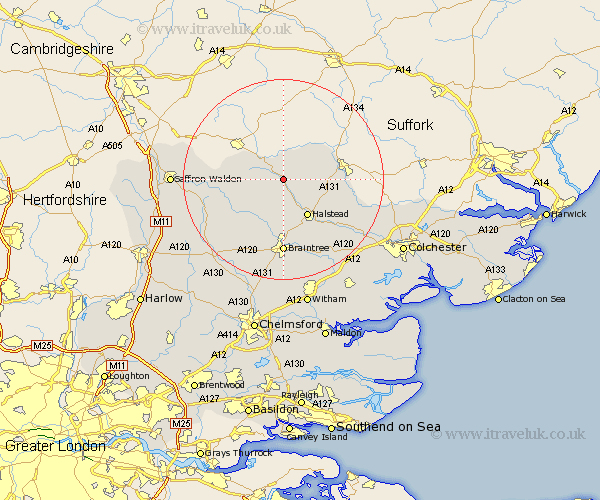
Essex Map Showing Location of Yeldham
Population: 1476
Area Size (ha): 40
District: Braintree
Easting: 576106 Northing: 238520
Latitude: 52.02 Longitude: 0.57
 = Yeldham
Area Size (ha): 40
District: Braintree
Easting: 576106 Northing: 238520
Latitude: 52.02 Longitude: 0.57
= Yeldham
This Yeldham map below is supplied by Google. Use the tools in the top left corner to zoom into street level or zoom out for a road map, you may also need to zoom in to see Yeldham on the map. Click and drag the map to move around. If the map fails to load try and refresh your browser or zoom in or out (+ or -).
Update - it seems Google no longer allow people to use their maps for free! This Yeldham map sometimes loads and sometimes gives a error. I am working on a solution.
Closest 30 Towns or Cities to Yeldham (Population over 500)
Toppesfield 2.94km Ridgwell 4.35km Ridgewell 4.35km Castle Hedingham 4.36km Sible Hedingham 5.68km Bulmer 7.98km Steeple Bumpstead 8.19km Halstead 8.71km Gosfield 9.34km Wethersfield 9.36km Finchingfield 9.73km Shalford 10.34km Great Bardfield 10.89km Great Sampford 12km Earls Colne 13.02km Braintree 14.83km Stisted 15.22km Panfield 15.22km Thaxted 15.58km Radwinter 16.08km Rayne 16.72km Wakes Colne 16.78km Bradwell 17.03km Winbeche 17.21km Wenbech 17.21km Gwimbach 17.21km Wymbyshe 17.21km Winebisc 17.21km Wimbish 17.21km Wimbeis 17.21km