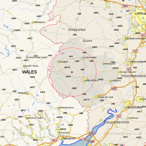
Herefordshire Map Showing Location of Yazor
Population: 129
Easting: 340663 Northing: 246886
Latitude: 52.12 Longitude: -2.87
 = Yazor
Easting: 340663 Northing: 246886
Latitude: 52.12 Longitude: -2.87
= Yazor
This Yazor map below is supplied by Google. Use the tools in the top left corner to zoom into street level or zoom out for a road map, you may also need to zoom in to see Yazor on the map. Click and drag the map to move around. If the map fails to load try and refresh your browser or zoom in or out (+ or -).
Update - it seems Google no longer allow people to use their maps for free! This Yazor map sometimes loads and sometimes gives a error. I am working on a solution.
Closest 30 Towns or Cities to Yazor (Population over 500)
Credenhill 4.92km Weobley 5.56km Burghill 7.08km Dilwyn 7.41km Wellington 8.18km Almeley 8.78km Eardisley 9.29km Moreton 9.29km Moreton on Lugg 9.29km Moreton-on-Lugg 9.29km Madley 9.34km Peterchurch 10.88km Eardisland 11.18km Pembridge 11.35km Kingstone 11.35km Lyonshall 12.21km Allensmore 12.49km Hereford 12.65km Sutton 12.66km Bodenham 13.05km Kington 13.8km Bullingham 13.82km Shobdon 14.82km Kingsland 15.5km Lugwardine 15.81km Leominster 15.84km Clifford 16.04km Withington 16.04km Much Dewchurch 16.84km Mordiford 17.59km