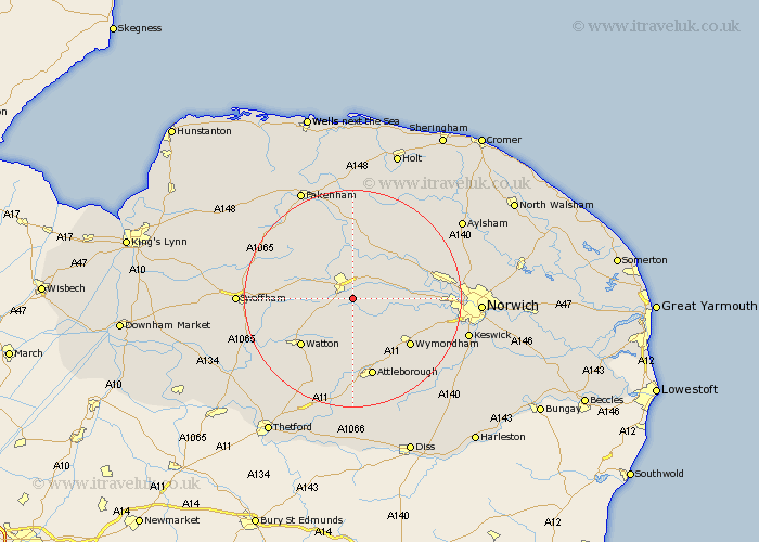
Norfolk Map Showing Location of Yaxham
Population: 677
District: Breckland
Easting: 600657 Northing: 309977
Latitude: 52.65 Longitude: 0.97
 = Yaxham
District: Breckland
Easting: 600657 Northing: 309977
Latitude: 52.65 Longitude: 0.97
= Yaxham
This Yaxham map below is supplied by Google. Use the tools in the top left corner to zoom into street level or zoom out for a road map, you may also need to zoom in to see Yaxham on the map. Click and drag the map to move around. If the map fails to load try and refresh your browser or zoom in or out (+ or -).
Update - it seems Google no longer allow people to use their maps for free! This Yaxham map sometimes loads and sometimes gives a error. I am working on a solution.
Closest 30 Towns or Cities to Yaxham (Population over 500)
East Dereham 4.33km Dereham 4.33km Mattishall 4.5km Shipdham 5.83km Hockering 7km Hingham 7.5km Beetley 8.15km Carbrooke 9.31km Carbooke 9.31km North Elmham 9.33km Lyng 10.02km Bawdeswell 10.29km Mileham 12.15km Necton 12.37km Ashill 12.55km Watton 12.92km Great Ellingham 12.98km Griston 13.01km Rockland Saint Peter 13.41km Rockland St Peter 13.41km Rockland St. Peter 13.41km Rockland 13.41km Litcham 13.46km Witchingham 13.71km Wymondham 13.73km Taverham 14.73km Reepham 15.03km Foulham 15.2km Foulsham 15.2km Attleborough 15.2km