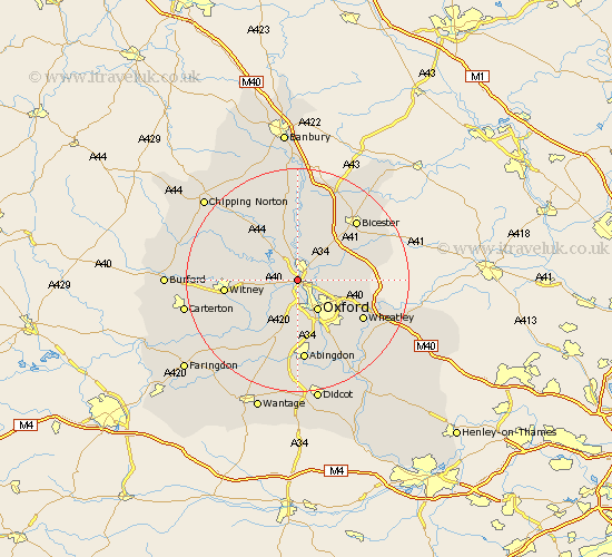
Oxfordshire Map Showing Location of Yarnton
Population: 2401
Area Size (ha): 70
District: Cherwell
Easting: 448264 Northing: 211543
Latitude: 51.8 Longitude: -1.3
 = Yarnton
Area Size (ha): 70
District: Cherwell
Easting: 448264 Northing: 211543
Latitude: 51.8 Longitude: -1.3
= Yarnton
This Yarnton map below is supplied by Google. Use the tools in the top left corner to zoom into street level or zoom out for a road map, you may also need to zoom in to see Yarnton on the map. Click and drag the map to move around. If the map fails to load try and refresh your browser or zoom in or out (+ or -).
Update - it seems Google no longer allow people to use their maps for free! This Yarnton map sometimes loads and sometimes gives a error. I am working on a solution.
Closest 30 Towns or Cities to Yarnton (Population over 500)
Kidlington 2.18km Bladon 3.91km Cassington 3.91km Islip 4.95km Woodstock 5.68km Hanborough 5.73km Church Handborough 5.73km Bletchingdon 6.01km Oxford 6.54km Ensham 6.82km Eynsham 6.82km Tackley 7.5km North Hinksey 7.51km Kirtlington 7.76km Beckley 8.24km North Leigh 9.17km Cumnor 9.54km Stonesfield 9.88km Stanton Harcourt 10.12km Littlemore 10.89km Wootton 11.12km Chesterton 12.25km Standlake 12.26km Hailey 12.61km Witney 12.74km Steeple Aston 12.98km Sunningwell 13.03km Charlbury 13.64km Wheatley 13.66km Radley 13.76km