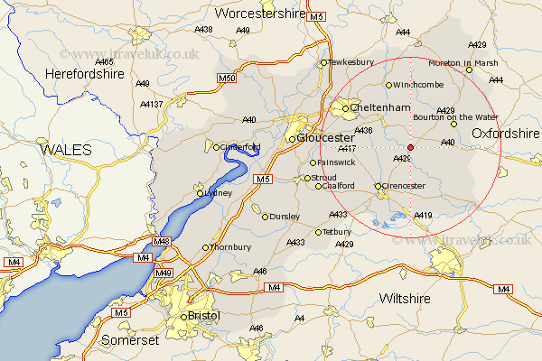
Gloucestershire Map Showing Location of Yanworth
Population: 114
District: Cotswold
Easting: 408041 Northing: 213175
Latitude: 51.82 Longitude: -1.88
 = Yanworth
District: Cotswold
Easting: 408041 Northing: 213175
Latitude: 51.82 Longitude: -1.88
= Yanworth
This Yanworth map below is supplied by Google. Use the tools in the top left corner to zoom into street level or zoom out for a road map, you may also need to zoom in to see Yanworth on the map. Click and drag the map to move around. If the map fails to load try and refresh your browser or zoom in or out (+ or -).
Update - it seems Google no longer allow people to use their maps for free! This Yanworth map sometimes loads and sometimes gives a error. I am working on a solution.
Closest 30 Towns or Cities to Yanworth (Population over 500)
Chedworth 2.95km Northleach 4.94km Withington 4.94km Andoversford 7.2km North Cerney 7.99km Bibury 8.72km Bourton-on-the-Water 10.71km Bourton on the Water 10.71km Cirencester 11.55km Cicester 11.55km Ampney St. Peter 12.98km Ampney St Peter 12.98km Ampney 12.98km Ampney Saint Peter 12.98km Quenington 13.08km Charlton Kings 13.77km Fairford 14.69km Leckhampton 14.82km Winchcombe 15.51km Winchcomb 15.51km Siddington 15.53km Stow on the Wold 16.56km Stow-on-the-Wold 16.56km Cheltenham 16.57km Cerney 16.84km South Cerney 16.84km Shurdington 16.97km Southam 17.29km Lechlade 18.1km Kempsford 18.51km