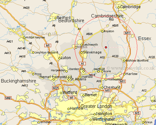
Hertfordshire Map Showing Location of Wyddial
Population: 140
District: East Hertfordshire
Easting: 537434 Northing: 229882
Latitude: 51.95 Longitude: -0
 = Wyddial
District: East Hertfordshire
Easting: 537434 Northing: 229882
Latitude: 51.95 Longitude: -0
= Wyddial
This Wyddial map below is supplied by Google. Use the tools in the top left corner to zoom into street level or zoom out for a road map, you may also need to zoom in to see Wyddial on the map. Click and drag the map to move around. If the map fails to load try and refresh your browser or zoom in or out (+ or -).
Update - it seems Google no longer allow people to use their maps for free! This Wyddial map sometimes loads and sometimes gives a error. I am working on a solution.
Closest 30 Towns or Cities to Wyddial (Population over 500)
Buntingford 1.14km Hormead 2.28km Barkway 5.68km Braughing 5.68km Cottered 6.01km Standon 7.76km Albury 7.97km Therfield 8.17km Little Hadham 9.36km Barley 9.54km Walkern 9.86km Little Munden 9.88km Benington 10.1km Bennington 10.1km Royston 11.35km Weston 11.42km Much Hadham 12.5km Aston 12.68km Thundridge 13.03km Watton at Stone 13.07km Watton 13.07km Baldock 13.09km Ashwell 13.83km Graveley 13.84km Stapleford 14.68km Bishop's Stortford 14.71km Bishops Strotford 14.71km Bishops Stortford 14.71km Letchworth 14.96km Wymondley 14.97km