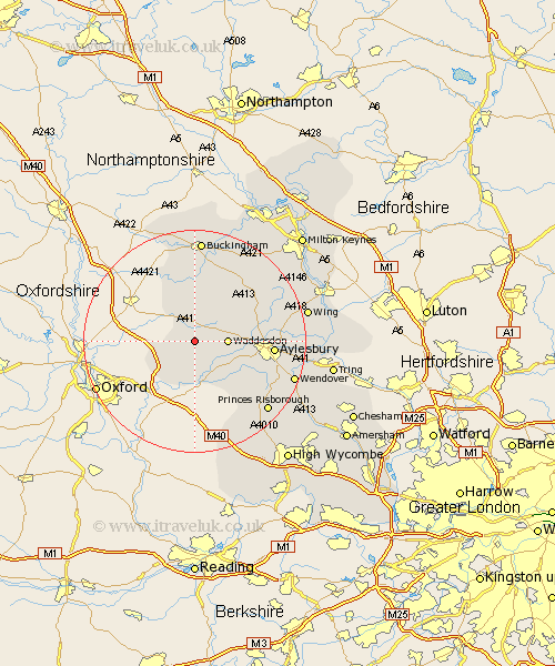
Buckinghamshire Map Showing Location of Wotton
Population: 147
District: Aylesbury Vale
Easting: 468897 Northing: 215487
Latitude: 51.83 Longitude: -1
 = Wotton
District: Aylesbury Vale
Easting: 468897 Northing: 215487
Latitude: 51.83 Longitude: -1
= Wotton
This Wotton map below is supplied by Google. Use the tools in the top left corner to zoom into street level or zoom out for a road map, you may also need to zoom in to see Wotton on the map. Click and drag the map to move around. If the map fails to load try and refresh your browser or zoom in or out (+ or -).
Update - it seems Google no longer allow people to use their maps for free! This Wotton map sometimes loads and sometimes gives a error. I am working on a solution.
Closest 30 Towns or Cities to Wotton (Population over 500)
Grendon Underwood 3.71km Brill 3.9km Waddesdon 5.73km Oakley 5.89km Quainton 6.82km Long Crendon 7.49km Cuddington 7.98km Chearsley 8.17km Marsh Gibbon 8.17km Warminghall 8.71km Worminghall 8.71km Haddenham 9.36km North Marston 10.71km Stone 10.96km Claydon 11.18km Steeple Claydon 11.18km Twyford 11.36km Whitchurch 12.73km Whitechurch 12.73km Aylesbury 13.87km Gawcott 14.83km Longwick 15.17km Padbury 15.22km Winslow 15.88km Bledlow 15.88km Stoke Mandeville 15.9km Mursley 16.79km Tingewick 17.03km Great Horwood 17.43km Ellesborough 17.55km