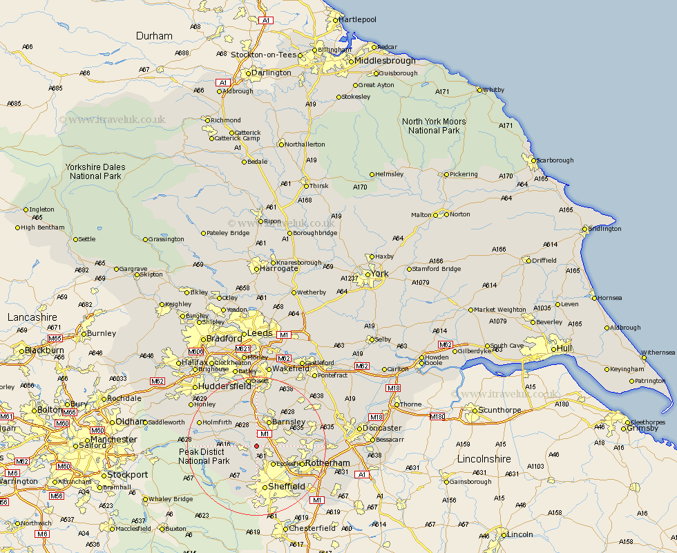
Yorkshire Map Showing Location of Wortley
Population: 579
District: Barnsley
Easting: 430964 Northing: 398638
Latitude: 53.48 Longitude: -1.53
 = Wortley
District: Barnsley
Easting: 430964 Northing: 398638
Latitude: 53.48 Longitude: -1.53
= Wortley
This Wortley map below is supplied by Google. Use the tools in the top left corner to zoom into street level or zoom out for a road map, you may also need to zoom in to see Wortley on the map. Click and drag the map to move around. If the map fails to load try and refresh your browser or zoom in or out (+ or -).
Update - it seems Google no longer allow people to use their maps for free! This Wortley map sometimes loads and sometimes gives a error. I am working on a solution.
Closest 30 Towns or Cities to Wortley (Population over 500)
Birdwell 3.79km Tankersley 4.41km Stocksbridge 4.41km Worsbrough 4.97km Worsborough 4.97km Dodworth 5.56km Wharncliffe Side 5.67km Oughtibridge 5.67km Wharncliffe 5.67km Hoyland 5.82km Hoyland Nether 5.82km Silkstone 5.98km Penistone 6.65km Ecclesfield 7.1km Wentworth 7.94km Barnsley 8.12km Bradfield 8.62km Wombwell 9.57km Cawthorne 9.85km Darton 11.12km Darfield 11.37km Darsfield 11.37km Cudworth 12.06km Wath on Dearne 12.27km Wath upon Dearne 12.27km Wath-on-Dearne 12.27km Wath 12.27km Denby Dale 12.79km Woolley 13.02km Sheffield 13.15km