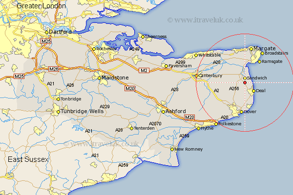
Kent Map Showing Location of Worth
Population: 935
District: Dover
Easting: 633751 Northing: 155481
Latitude: 51.25 Longitude: 1.35
 = Worth
District: Dover
Easting: 633751 Northing: 155481
Latitude: 51.25 Longitude: 1.35
= Worth
This Worth map below is supplied by Google. Use the tools in the top left corner to zoom into street level or zoom out for a road map, you may also need to zoom in to see Worth on the map. Click and drag the map to move around. If the map fails to load try and refresh your browser or zoom in or out (+ or -).
Update - it seems Google no longer allow people to use their maps for free! This Worth map sometimes loads and sometimes gives a error. I am working on a solution.
Closest 30 Towns or Cities to Worth (Population over 500)
Sandwich 1.86km Northbourne 3.88km Eastry 3.95km Sholden 4.37km Deal 5.08km Great Mongeham 5.68km Mongeham 5.68km Walmer 6.56km Staple 6.96km Minster 7.77km Kingsdown 8.19km Eythorne 8.75km Wingham 9.46km West Langdon 9.55km Langdon 9.55km Preston 9.84km Monkton 10.36km Ramsgate 10.93km Sibertswold 11km Shepherdswell 11km Manston 11.18km St Margaret's at Cliffe 11.36km Saint Margaret at Cliffe 11.36km St. Margaret's at Cliffe 11.36km St Margarets 11.36km Saint Margarets 11.36km Saint Margaret's at Cliffe 11.36km St Margaret at Cliffe 11.36km St. Margarets 11.36km St. Margaret at Cliffe 11.36km