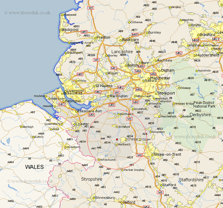
Cheshire Map Showing Location of Worleston
Population: 404
District: Crewe and Nantwich
Easting: 365409 Northing: 356024
Latitude: 53.1 Longitude: -2.52
 = Worleston
District: Crewe and Nantwich
Easting: 365409 Northing: 356024
Latitude: 53.1 Longitude: -2.52
= Worleston
This Worleston map below is supplied by Google. Use the tools in the top left corner to zoom into street level or zoom out for a road map, you may also need to zoom in to see Worleston on the map. Click and drag the map to move around. If the map fails to load try and refresh your browser or zoom in or out (+ or -).
Update - it seems Google no longer allow people to use their maps for free! This Worleston map sometimes loads and sometimes gives a error. I am working on a solution.
Closest 30 Towns or Cities to Worleston (Population over 500)
Nantwich 3.7km Wistaston 3.82km Willaston 4.32km Crewe 5.56km Wybunbury 8.65km Bunbury 9.09km Winsford 9.26km Sandbach 10.67km Little Budworth 10.8km Middlewich 10.8km Middlewick 10.8km Wrenbury 10.81km Wrenbury cum Frith 10.81km Tarporley 11.45km Audlem 12.98km Whitegate 13.16km Brereton 14.3km Brereton cum Smethwick 14.3km Alsager 14.47km Davenham 14.82km Holmes Chapel 14.96km Hartford 14.99km Rode Heath 15.69km Harthill 15.69km Cuddington 15.83km Delamere 16.38km Tattenhall 16.79km Kelshall Hill 17.08km Kelsall Hill 17.08km Kelsall 17.08km