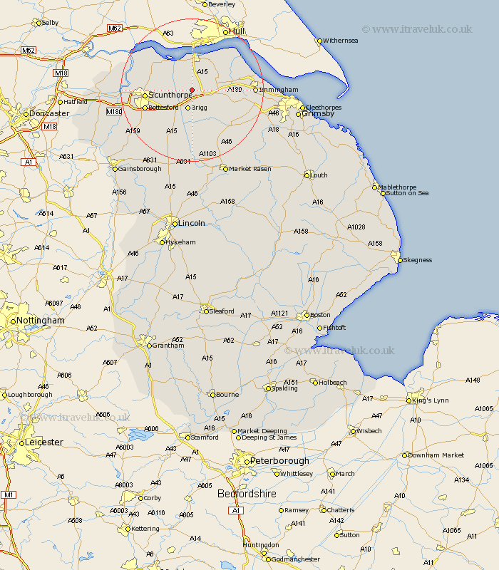
Lincolnshire Map Showing Location of Worlaby
Population: 449
Easting: 501456 Northing: 412611
Latitude: 53.6 Longitude: -0.47
 = Worlaby
Easting: 501456 Northing: 412611
Latitude: 53.6 Longitude: -0.47
= Worlaby
This Worlaby map below is supplied by Google. Use the tools in the top left corner to zoom into street level or zoom out for a road map, you may also need to zoom in to see Worlaby on the map. Click and drag the map to move around. If the map fails to load try and refresh your browser or zoom in or out (+ or -).
Update - it seems Google no longer allow people to use their maps for free! This Worlaby map sometimes loads and sometimes gives a error. I am working on a solution.
Closest 30 Towns or Cities to Worlaby (Population over 500)
Wrawby 3.7km Brigg 5.67km Barnetby 5.75km Barnetby le Wold 5.75km Broughton 6.63km Appleby 6.85km South Ferriby 7.73km Scawby 8.62km Ulceby 8.99km Winterton 10.4km Barrow on Humber 10.77km Barrow-upon-Humber 10.77km Barrow upon Humber 10.77km Barrow 10.77km Barrow-on-Humber 10.77km Goxhill 11.5km Hibaldstow 11.96km Scunthorpe 12.24km Winteringham 12.77km New Holland 12.93km Bottesford 13.32km North Kelsey 13.39km East Halton 14.18km Messingham 14.2km Habrough 14.3km Flixborough 14.41km Keelby 14.77km South Kelsey 14.99km Burton upon Stather 15.33km Burton 15.33km