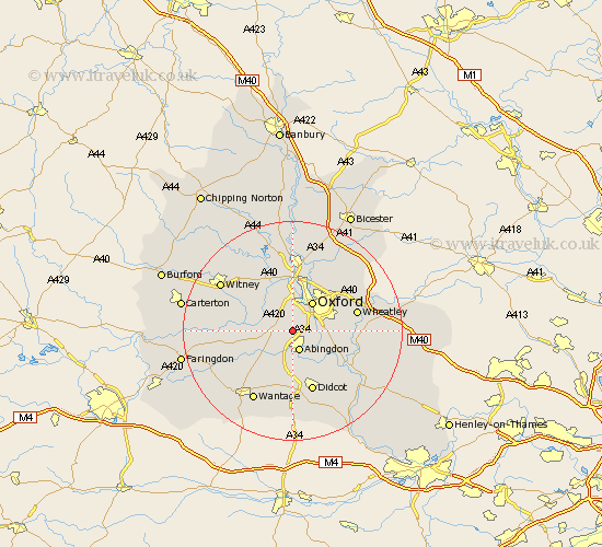
Oxfordshire Map Showing Location of Wootton
Population: 2632
District: Vale of White Horse
Easting: 448371 Northing: 200422
Latitude: 51.7 Longitude: -1.3
 = Wootton
District: Vale of White Horse
Easting: 448371 Northing: 200422
Latitude: 51.7 Longitude: -1.3
= Wootton
This Wootton map below is supplied by Google. Use the tools in the top left corner to zoom into street level or zoom out for a road map, you may also need to zoom in to see Wootton on the map. Click and drag the map to move around. If the map fails to load try and refresh your browser or zoom in or out (+ or -).
Update - it seems Google no longer allow people to use their maps for free! This Wootton map sometimes loads and sometimes gives a error. I am working on a solution.
Closest 30 Towns or Cities to Wootton (Population over 500)
Sunningwell 2.18km Cumnor 2.95km North Hinksey 3.88km Abingdon 3.88km Abingdon-on-Thames 3.88km Abingdon on Thames 3.88km Radley 4.95km Marcham 6.02km Littlemore 6.03km Oxford 6.54km Drayton 7.42km Sutton Courtenay 7.76km Stanton Harcourt 7.82km Standlake 8.25km Long Wittenham 8.73km Kingston Bagpuze 8.86km Kingston Bagpuize 8.86km Clifton Hampden 8.86km Milton 9.26km Steventon 9.33km Longworth 9.38km Ensham 9.38km Eynsham 9.38km Cassington 9.88km Garsington 10.34km Yarnton 11.12km Harwell 11.18km Hanney 11.55km East Hanney 11.55km Cuddesdon 11.63km