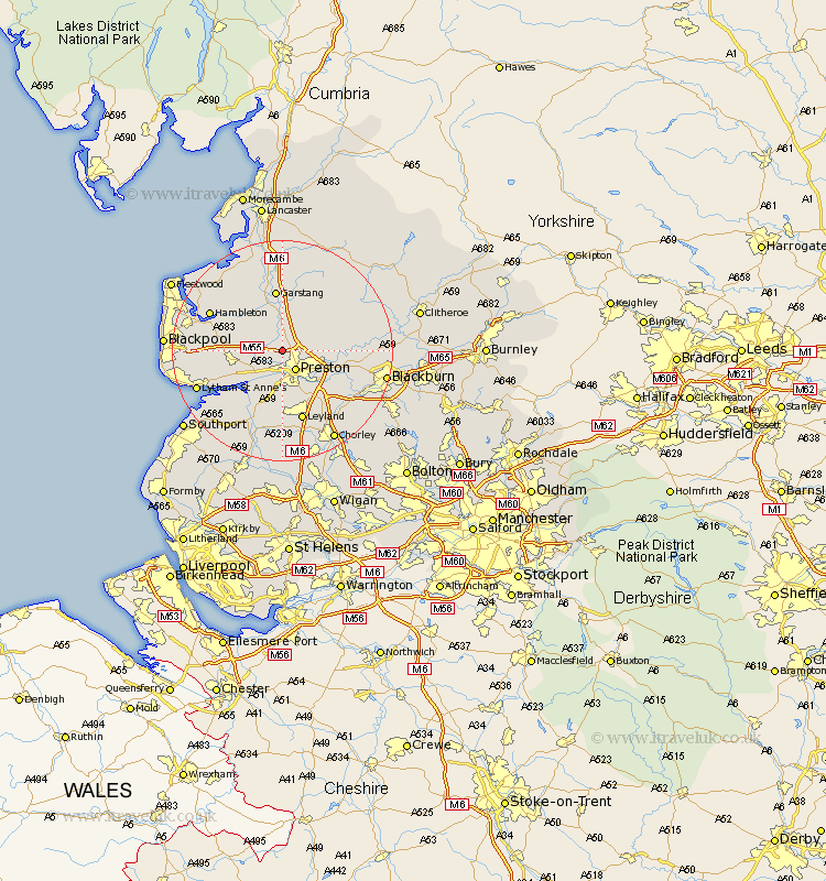
Lancashire Map Showing Location of Woodplumpton
Population: 2051
District: Preston
Easting: 350607 Northing: 434028
Latitude: 53.8 Longitude: -2.75
 = Woodplumpton
District: Preston
Easting: 350607 Northing: 434028
Latitude: 53.8 Longitude: -2.75
= Woodplumpton
This Woodplumpton map below is supplied by Google. Use the tools in the top left corner to zoom into street level or zoom out for a road map, you may also need to zoom in to see Woodplumpton on the map. Click and drag the map to move around. If the map fails to load try and refresh your browser or zoom in or out (+ or -).
Update - it seems Google no longer allow people to use their maps for free! This Woodplumpton map sometimes loads and sometimes gives a error. I am working on a solution.
Closest 30 Towns or Cities to Woodplumpton (Population over 500)
Broughton 2.16km Barton 2.16km Preston 4.3km Lea Town 4.95km Lea 4.95km Penwortham 5.67km Goosnargh 5.78km Inskip 6.61km Hutton 7.5km Catterall 7.5km Grimsargh 7.66km Claughton on Brock 7.73km Claughton-on-Brock 7.73km Claughton 7.73km Kirkham 7.89km Great Eccleston 9.46km Eccleston 9.46km Freckleton 9.47km Elswick 9.5km Warton 9.51km Samlesbury 9.51km Longton 9.83km Farington 9.83km Farrington 9.83km Garstang 11.17km Longridge 11.55km Much Hoole 11.59km Hoole 11.59km Plumpton 12.18km Singleton 12.59km