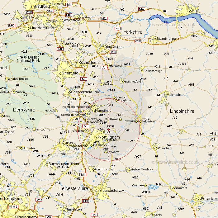
Nottinghamshire Map Showing Location of Woodborough
Population: 1622
Area Size (ha): 56
District: Gedling
Easting: 462605 Northing: 347041
Latitude: 53.02 Longitude: -1.07
 = Woodborough
Area Size (ha): 56
District: Gedling
Easting: 462605 Northing: 347041
Latitude: 53.02 Longitude: -1.07
= Woodborough
This Woodborough map below is supplied by Google. Use the tools in the top left corner to zoom into street level or zoom out for a road map, you may also need to zoom in to see Woodborough on the map. Click and drag the map to move around. If the map fails to load try and refresh your browser or zoom in or out (+ or -).
Update - it seems Google no longer allow people to use their maps for free! This Woodborough map sometimes loads and sometimes gives a error. I am working on a solution.
Closest 30 Towns or Cities to Woodborough (Population over 500)
Claverton 2.16km Calverton 2.16km Oxton 3.7km Lambley 3.71km Burton Joyce 4.33km Arnold 4.83km Shelford 6.49km Colwick 7.5km Carlton 7.5km Papplewick 8.64km Blidworth 8.64km Nottingham 8.7km Nottigham 8.7km Bleasby 9.11km Farnsfield 9.53km Radcliffe on Trent 9.54km Radcliffe-on-Trent 9.54km Radcliffe 9.54km East Bridgford 9.59km Southwell 9.99km Tollerton 11.18km Newstead 11.47km Rainworth 11.61km West Bridgeford 11.62km West Bridgford 11.62km Fiskerton Ferry 11.74km Fiskerton 11.74km Flintham 11.76km Bingham 12.12km Cropwell 12.44km