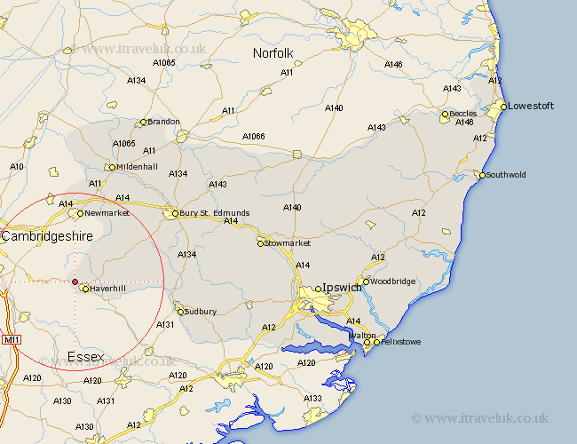
Suffolk Map Showing Location of Withersfield
Population: 436
District: St. Edmundsbury
Easting: 564366 Northing: 247392
Latitude: 52.1 Longitude: 0.4
 = Withersfield
District: St. Edmundsbury
Easting: 564366 Northing: 247392
Latitude: 52.1 Longitude: 0.4
= Withersfield
This Withersfield map below is supplied by Google. Use the tools in the top left corner to zoom into street level or zoom out for a road map, you may also need to zoom in to see Withersfield on the map. Click and drag the map to move around. If the map fails to load try and refresh your browser or zoom in or out (+ or -).
Update - it seems Google no longer allow people to use their maps for free! This Withersfield map sometimes loads and sometimes gives a error. I am working on a solution.
Closest 30 Towns or Cities to Withersfield (Population over 500)
Thurlow 2.18km Haverhill 2.94km Kedington 5.99km Hundon 10.25km Clare 12.66km Wickhambrook 12.66km Cavendish 16.05km Newmarket 16.72km Chedburgh 17.45km Moulton 17.62km Glemsford 18.21km Gazeley 18.48km Chevington 18.5km Exning 18.85km Barrow 19.39km Long Melford 21.95km Lawshall 23.42km Sudbury 23.96km Risby 24.43km Great Cornard 26.14km Waldingfield 26.45km Great Waldingfield 26.45km Cockfield 26.75km Bury Saint Edmunds 27.28km Bury St Edmunds 27.28km Bury St. Edmunds 27.28km Lavenham 27.32km Fornham All Saints 27.6km Rushbrooke 28.18km Mildenhall 28.91km