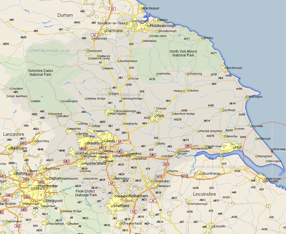
Yorkshire Map Showing Location of Withernsea
Population: 6342
Area Size (ha): 166
Easting: 534113 Northing: 428266
Latitude: 53.73 Longitude: 0.03
 = Withernsea
Area Size (ha): 166
Easting: 534113 Northing: 428266
Latitude: 53.73 Longitude: 0.03
= Withernsea
This Withernsea map below is supplied by Google. Use the tools in the top left corner to zoom into street level or zoom out for a road map, you may also need to zoom in to see Withernsea on the map. Click and drag the map to move around. If the map fails to load try and refresh your browser or zoom in or out (+ or -).
Update - it seems Google no longer allow people to use their maps for free! This Withernsea map sometimes loads and sometimes gives a error. I am working on a solution.
Closest 30 Towns or Cities to Withernsea (Population over 500)
Roos 5.79km Patrington 8.1km Ottringham 8.52km Easington 9.22km Burton Pidsea 9.52km Keyingham 10.54km Walkington 10.77km Burstwick 10.96km Thorngumbold 13.29km Thorngumbald 13.29km Aldbrough 13.53km Hedon 14.25km Sproatley 15.29km Preston 15.79km Paull 17.64km Skirlaugh Station 20.8km Hornsea 22.71km Sutton 23.67km Sutton-on-Hull 23.67km Sutton on Hull 23.67km Kingston upon Hull 24.19km Hull 24.25km Wawne 26.26km Cottingham 27.95km Leven 28.4km Woodmansey 28.91km Brandesburton 29.91km Brandsburton 29.91km Dunnington 30.43km Anlaby 30.7km