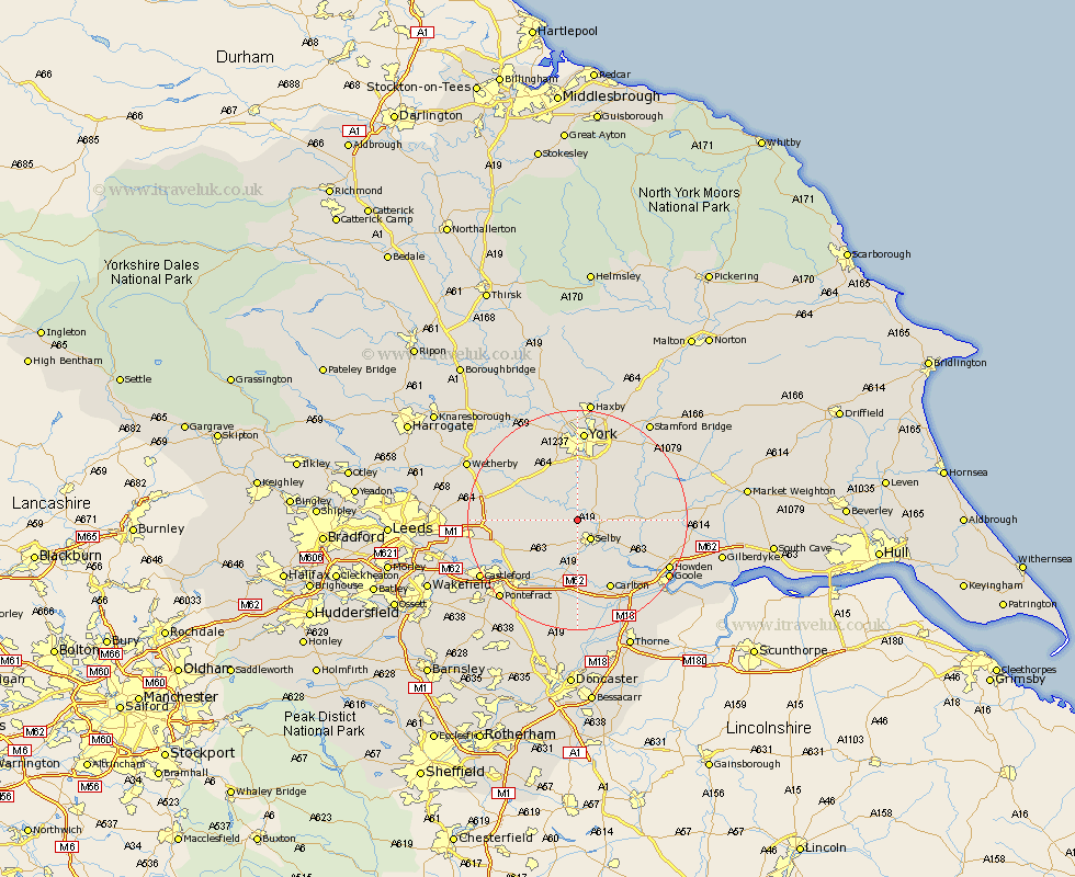
Yorkshire Map Showing Location of Wistow
Population: 1135
District: Selby
Easting: 459246 Northing: 436001
Latitude: 53.82 Longitude: -1.1
 = Wistow
District: Selby
Easting: 459246 Northing: 436001
Latitude: 53.82 Longitude: -1.1
= Wistow
This Wistow map below is supplied by Google. Use the tools in the top left corner to zoom into street level or zoom out for a road map, you may also need to zoom in to see Wistow on the map. Click and drag the map to move around. If the map fails to load try and refresh your browser or zoom in or out (+ or -).
Update - it seems Google no longer allow people to use their maps for free! This Wistow map sometimes loads and sometimes gives a error. I am working on a solution.
Closest 30 Towns or Cities to Wistow (Population over 500)
Cawood 2.15km Riccall 3.77km Selby 4.31km Brayton 5.67km Hambleton 7.08km Church Fenton 7.66km Escrick 8.1km Ulleskelf 8.5km Barlow 9.22km Acaster Malbis 9.26km Cliffe Common 9.47km Cliff Common Station 9.47km Hemingbrough 9.47km Sherburn 10.02km Sherburn in Elmet 10.02km South Milford 11.31km Copmanthorpe 11.33km Wheldrake 11.46km Monk Fryston 11.48km Bubwith 12.04km Bishopthorpe 12.97km Bishopthorne 12.97km Hensall 12.98km Tadcaster 13.2km Carlton 14.09km Whitley 15.19km Aberford 15.32km Micklefield 15.43km Heslington 15.45km Snaith 15.47km