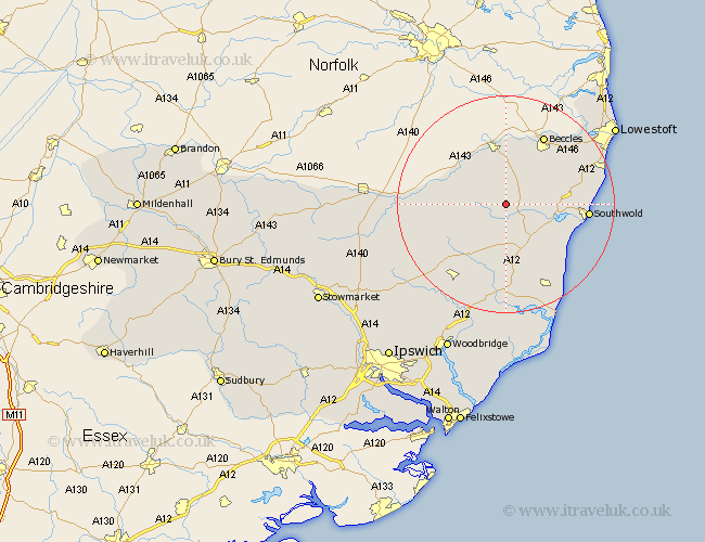
Suffolk Map Showing Location of Wissett
Population: 252
District: Waveney
Easting: 636069 Northing: 278136
Latitude: 52.35 Longitude: 1.47
 = Wissett
District: Waveney
Easting: 636069 Northing: 278136
Latitude: 52.35 Longitude: 1.47
= Wissett
This Wissett map below is supplied by Google. Use the tools in the top left corner to zoom into street level or zoom out for a road map, you may also need to zoom in to see Wissett on the map. Click and drag the map to move around. If the map fails to load try and refresh your browser or zoom in or out (+ or -).
Update - it seems Google no longer allow people to use their maps for free! This Wissett map sometimes loads and sometimes gives a error. I am working on a solution.
Closest 30 Towns or Cities to Wissett (Population over 500)
Halesworth 2.26km Holton 3.87km Cookley 3.87km Wenhaston 6.76km Laxfield 8.78km Yoxford 9.87km Wangford 10.19km Bungay 11.18km Fressingfield 11.32km Reydon 13.58km Worlingham 13.65km Stradbroke 14.09km Dennington 14.63km Beccles 14.64km Southwold 14.83km Saxmundham 14.99km Wrentham 15.17km Framlingham 17.38km Worlingworth 17.4km Leiston 18.01km Hoxne 18.11km Kessingland 18.52km Snape 18.67km Gisleham 19.33km Carlton Colville 19.35km Eye 21.83km Thorpe 22.79km Thorpeness 22.79km Wickham Market 23.26km Oulton 23.38km